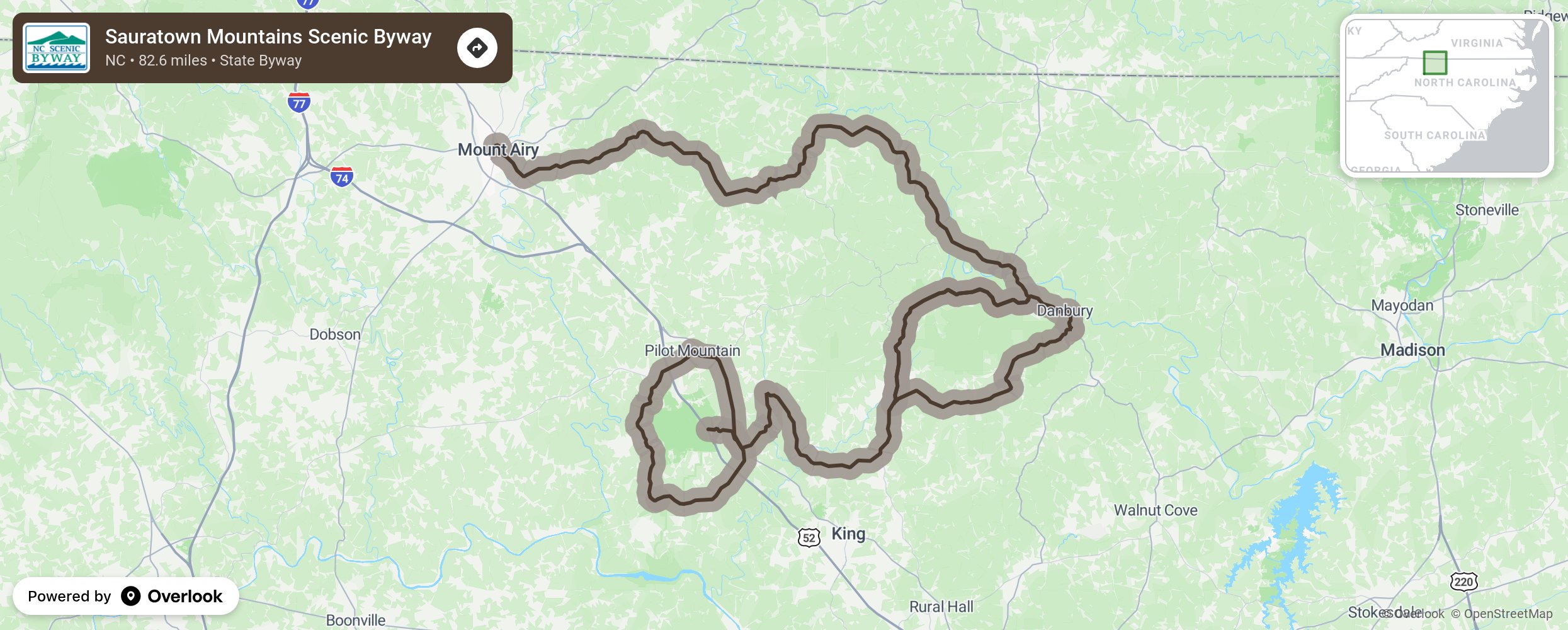
Sauratown Mountains Scenic Byway

The motorist’s adventure begins in the quintessential mountain town of Mt. Airy, often referred to as Mayberry, where visitors can experience some hometown food, shopping, and cultural revival. The byway then winds its way around the ancient “Middle Mountains” region in North Carolina’s rolling northern Piedmont. At the beginning of the byway, look for excellent views of Hanging Rock in the distance. As travelers work their way down the route, they’ll pass one of the most well-preserved structures from the antebellum period in North Carolina, the Moratock Iron Furnace in the small town of Danbury, which is listed on the National Register of Historic Places. Along the way, travelers will have the opportunity to explore Hanging Rock State Park and enjoy some of the many recreational opportunities that it provides, such as hiking, canoeing, and fishing. Later on, visitors will be exposed to long range views of Sauratown Mountain before making a 360° loop around the base of Pilot Mountain. The grand finale presents an extraordinary view of Pilot Mountain’s Big Pinnacle. More from National Scenic Byway Foundation →
Embed this map on your site
You are welcome to add this map to your own website for free, as long as you do so using the below code snippet in its entirety.
Please get in touch with us if you have any questions!
      <iframe src="https://overlookmaps.com/byways/nc-sauratown-mountains-scenic-byway"></iframe>
    <a href="https://overlookmaps.com/">Map courtesy of Overlook Maps</a>