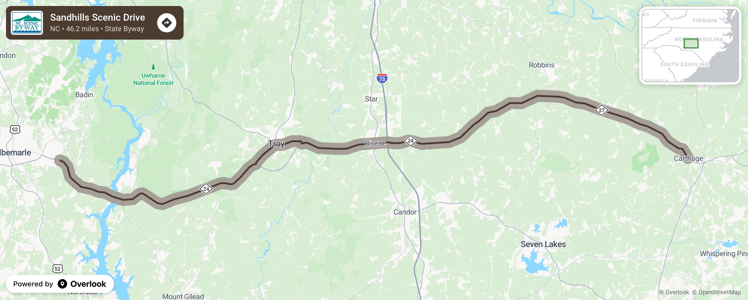
Sandhills Scenic Drive

The Sandhills Scenic Drive journeys through North Carolina’s Sandhills, a series of low rolling hills located between the Cape Fear and Pee Dee rivers. Settled by Scottish highlanders about 1740, the area was named for the coarse, sandy soil prevalent in the region. The Weymouth Woods Sandhills Nature Preserve in the Moore County town of Southern Pines houses the last remaining cluster of ancient long-leaf pines in this area. These pine trees covered the Sandhills until they were nearly destroyed by logging in 1895. The pines are a showcase for the preserve’s hardwood swamp forest, which also contains rare plant and animal species. The former long-leaf pine forests have regenerated with the faster growing short-leaf pine. Along the way, enjoy views of fertile farmlands and rolling hills while passing the state’s pottery center to the north and golf resort communities to the south. When approaching the Pee Dee River, both Horse Trough and Shelter Mountain of the Uwharrie Mountain range are visible on either side of the route. These isolated peaks have withstood erosion and weathering over thousands of years. While crossing the river near Lake Tillery, notice how Stony Mountain frames the path of the Pee Dee River’s western shore. More from National Scenic Byway Foundation →
Embed this map on your site
You are welcome to add this map to your own website for free, as long as you do so using the below code snippet in its entirety.
Please get in touch with us if you have any questions!
      <iframe src="https://overlookmaps.com/byways/nc-sandhills-scenic-drive"></iframe>
    <a href="https://overlookmaps.com/">Map courtesy of Overlook Maps</a>