Pisgah Loop Scenic Byway

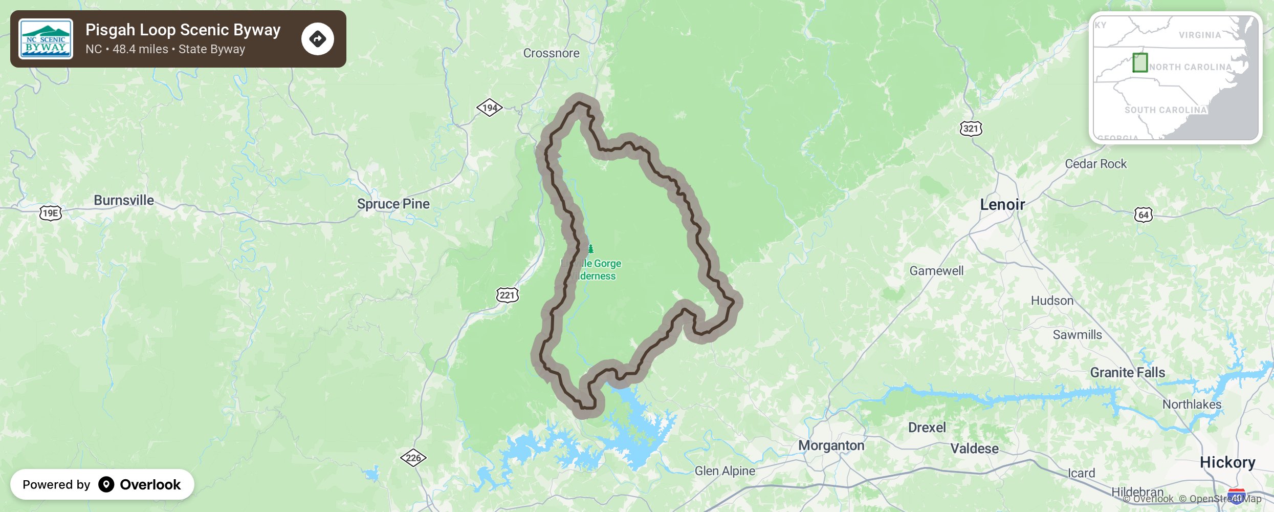
By traveling the Pisgah Loop, motorists have an opportunity to view some of North Carolina’s most beautiful and remote landscapes. This 47-mile loop route around Burke County offers unparalleled views of Western North Carolina. These routes have changed very little since early settlers and Revolutionary and Civil War units were challenged with the prospect of crossing into the lands beyond. The byway rises and winds up into the Pisgah National Forest with views of Table Rock and Hawksbill Mountain. The route will begin to travel parallel to the Blue Ridge Parkway past a rare montane, or mountain wetland, and as you reach the Linville Falls trail head, the route becomes a natural unpaved stretch of road for 15-miles in order to protect the Linville Gorge National Wilderness Area that follows the east side of the road. Four-wheel-drive vehicles are required past this point. Travelers are encouraged to tread lightly along this part of the byway and to protect the pristine conditions of the wilderness. At the trail access for Linville Falls and Wiseman’s View a short, handicapped-accessible trail reveals the true natural splendor and beauty of this area. As the byway crosses Dog Back Mountain and descends into the Catawba River Valley below, travelers are presented with sweeping views of Lake James. More from National Scenic Byway Foundation →
Embed this map on your site
You are welcome to add this map to your own website for free, as long as you do so using the below code snippet in its entirety.
Please get in touch with us if you have any questions!
      <iframe src="https://overlookmaps.com/byways/nc-pisgah-loop-byway"></iframe>
    <a href="https://overlookmaps.com/">Map courtesy of Overlook Maps</a>