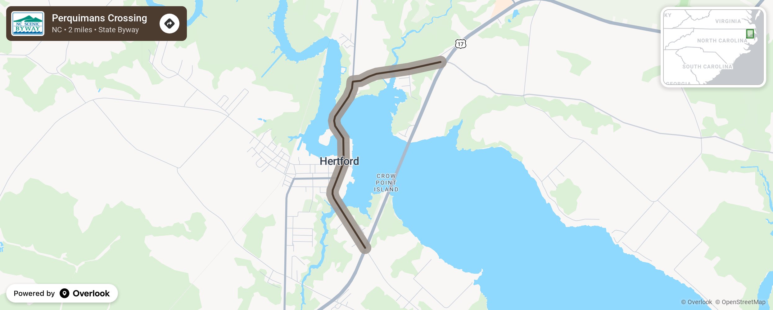
Perquimans Crossing

The Perquimans Crossing takes motorists through some of North Carolina’s oldest inhabited lands. Near Winfall, the byway crosses Mill Creek, which was originally known as Vosses Creek and was named for the family who owned the land before 1700. But, by the end of the 19th century, it was called Brights Mill Creek for the local mill owner. The route sweeps down into the town of Hertford by way of a “S” Swing Bridge crossing the Perquimans River. The bridge is believed to be the only one of its kind in the nation still operational. The Perquimans River empties into the Albemarle Sound about 10 miles southeast after crossing the length of the county that bears its name. More from National Scenic Byway Foundation →
Embed this map on your site
You are welcome to add this map to your own website for free, as long as you do so using the below code snippet in its entirety.
Please get in touch with us if you have any questions!
      <iframe src="https://overlookmaps.com/byways/nc-perquimans-crossing"></iframe>
    <a href="https://overlookmaps.com/">Map courtesy of Overlook Maps</a>