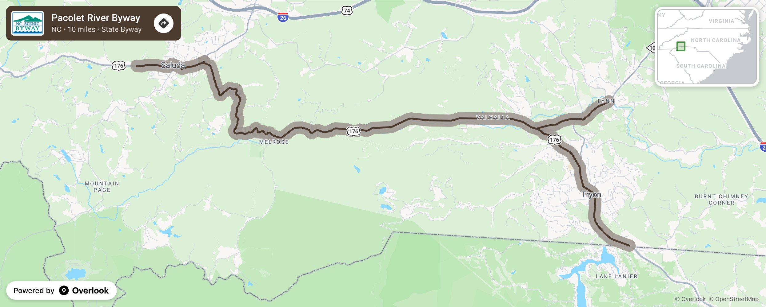
Pacolet River Byway

Beginning at the South Carolina state line, the Pacolet River Byway traces US 176 through the Tryon “Thermal Belt”, a unique weather phenomenon where a microclimate is created that is ordinarily free of dew and frost. This valley road crosses the Pacolet River several times and parallels the Saluda Grade, the steepest standard-gauge mainline railway grade in the United States. Opening in 1878, the section is 3 miles long and is said to be between 4-5% grade. Old railroad depots, log cabins, a vaudeville/movie theater, and several other historic buildings are in the towns of Saluda and Tryon ready to be discovered. More from National Scenic Byway Foundation →
Embed this map on your site
You are welcome to add this map to your own website for free, as long as you do so using the below code snippet in its entirety.
Please get in touch with us if you have any questions!
      <iframe src="https://overlookmaps.com/byways/nc-pacolet-river-byway"></iframe>
    <a href="https://overlookmaps.com/">Map courtesy of Overlook Maps</a>