Pamlico Scenic Byway

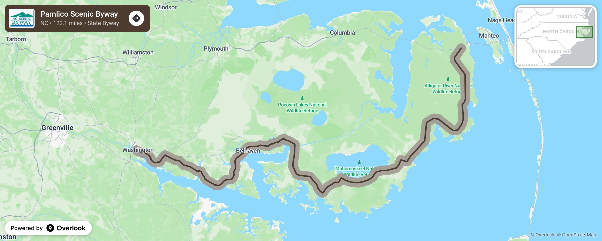
Beginning near calm waters of the Pamlico River, the byway journeys through some of North Carolina’s oldest and most historic towns and alongside some of the most important preserve lands in the state. Pamlico was the name of a Native American group that once lived in the area. The river, first explored by Europeans in 1584, extends 33 miles from Washington to the Pamlico Sound, which is 80 miles long and 15 to 30 miles wide. It covers more than 1,800 square miles and has a maximum depth of 21 feet. The Pamlico Sound drains water from the Albemarle Sound along with the Neuse and Pamlico rivers through the Ocracoke and Oregon inlets to the Atlantic Ocean. After passing through Belhaven and Scranton, enjoy a beautiful stretch of road where drainage canals and trees form a unique and protective seven-mile tunnel with views of vast fields and tree stands on either side. Eventually, the route will lead visitors past the Swan Quarter, Mattamuskeet, and Alligator River National Wildlife Refuges. The farms on both sides of the road in this area are on lands reclaimed by draining the surrounding swamps in the early 20th century. This practice, called “swamp busting,” is no longer allowed as these wetlands are now protected for the vital role they serve as native and migratory habitats. More from National Scenic Byway Foundation →
Embed this map on your site
You are welcome to add this map to your own website for free, as long as you do so using the below code snippet in its entirety.
Please get in touch with us if you have any questions!
      <iframe src="https://overlookmaps.com/byways/nc-pamlico-scenic-byway"></iframe>
    <a href="https://overlookmaps.com/">Map courtesy of Overlook Maps</a>