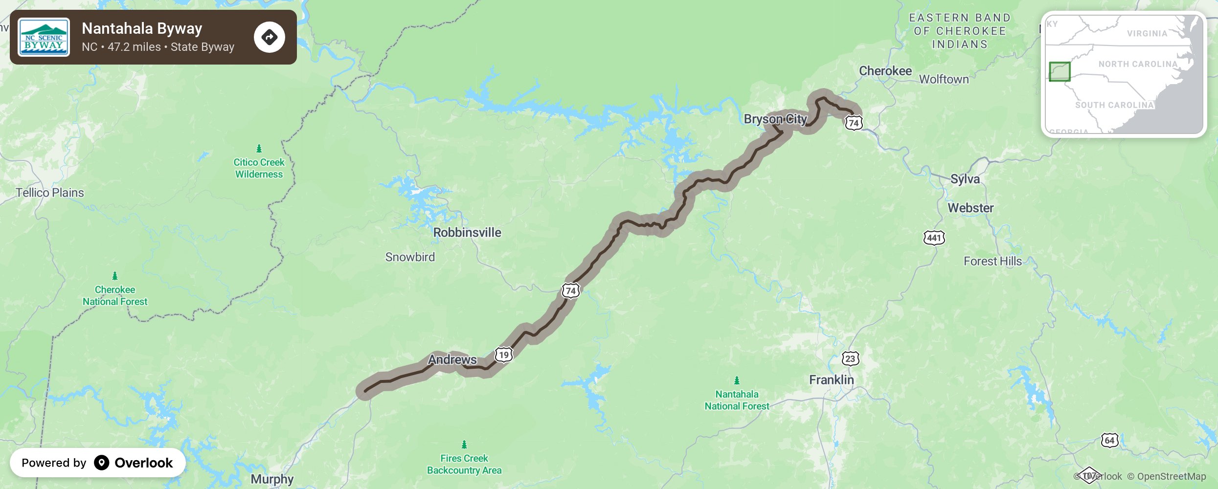
Nantahala Byway

The Nantahala Byway offers a variety of visual experiences ranging from views of the Nantahala River and the agricultural bottom lands to the backdrop of the Blue Ridge Mountains. The Nantahala Gorge is the heart of the byway, and the Cherokee once referred to it as the “Land of the Midday Sun” for its deep valley and steep walls. The gorge is known for its world-class whitewater rafting, and between mid-March and mid-November, you’ll find whitewater enthusiasts enjoying the river with rafts, kayaks, and canoes. On occasion, slalom gates can be seen from the route for competition races held on the river. For those who prefer a less adventurous experience, a point near the southern end of the gorge provides calmer waters. The byway occasionally provides glimpses of the Great Smoky Mountain Railroad, which snakes through the gorge paralleling US 74. The railroad offers visitors a different perspective of the gorge and operates daily from 9 a.m. until 2 p.m., and reservations are recommended. More from National Scenic Byway Foundation →
Embed this map on your site
You are welcome to add this map to your own website for free, as long as you do so using the below code snippet in its entirety.
Please get in touch with us if you have any questions!
      <iframe src="https://overlookmaps.com/byways/nc-nantahala-byway"></iframe>
    <a href="https://overlookmaps.com/">Map courtesy of Overlook Maps</a>