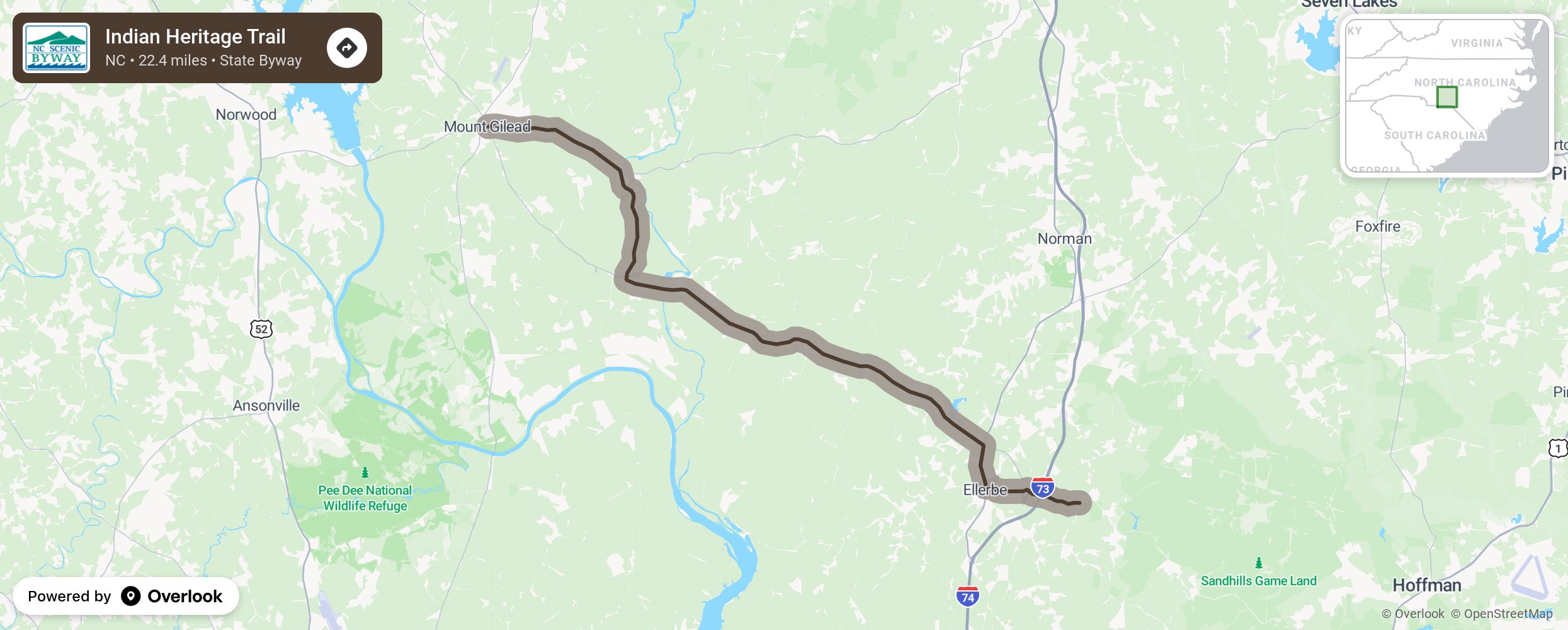
Indian Heritage Trail

This byway explores a part of North Carolina’s rich Native American heritage starting at the town of Ellerbe and ending near Mount Gilead. Once known as the “Fair Grounds,” Ellerbe received its present name after W.T. Ellerbe developed the nearby recreational and health facility, Ellerbe Springs. With one of the state’s most extensive Native American collections, the Rankin Museum of American Heritage is a quick side trip easily accessible in this small town. Traveling north on US 220 from Ellerbe, motorists will pass through North Carolina’s prime peach-growing region. Depending on the season, several fruit and vegetable stands may be open along this section of byway to stop and buy fresh produce from local growers. As you travel north through the Piedmont heartland, you will pass by the farm of one-time professional wrestler and legend Andre the Giant. More from National Scenic Byway Foundation →
Embed this map on your site
You are welcome to add this map to your own website for free, as long as you do so using the below code snippet in its entirety.
Please get in touch with us if you have any questions!
      <iframe src="https://overlookmaps.com/byways/nc-indian-heritage-trail"></iframe>
    <a href="https://overlookmaps.com/">Map courtesy of Overlook Maps</a>