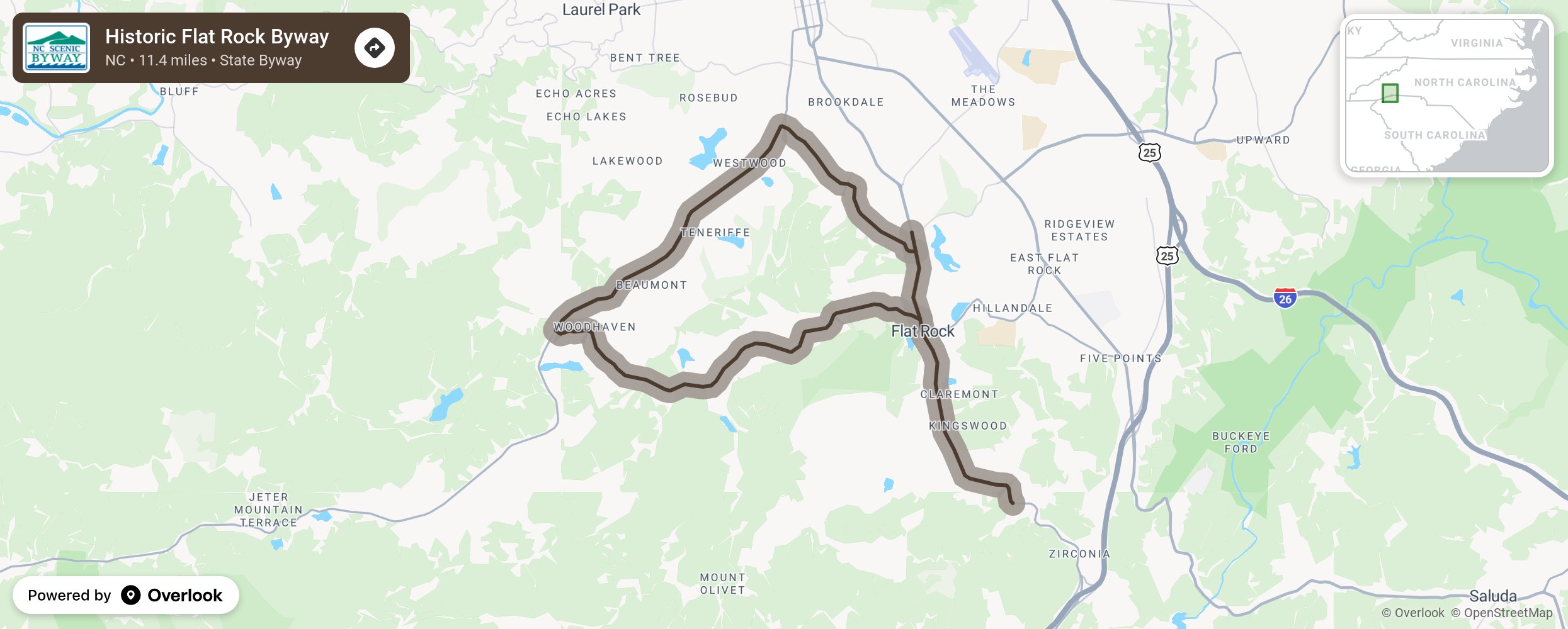
Historic Flat Rock Byway

The Historic Flat Rock Scenic Byway, named for a large expanse of granite used as a Cherokee meeting and ceremonial site, treks through a historic community with scenic vistas and forested landscapes that offer travelers a look into the rich architectural, religious, and recreational history of the Flat Rock village. The village was a popular haven for affluent Charlestonians, Europeans, and plantation owners and was often known as the “Little Charleston of the mountains.” These visitors left evidence of their stays in the many beautiful historic homes in town. Historians and enthusiasts alike may be intrigued with the lineage of Southern aristocracy found among the tombstones in the St. John in the Wilderness Episcopal Church Cemetery. As author Louise Howe Bailey explained, “Flat Rock lies in a pocket of history, weaving a recollection of the Great Cherokee tribe, pioneers, and Charlestonians into a pattern uniquely her own.” Many historic homes and beautiful areas extend beyond the reaches of this byway and are waiting to be explored. More from National Scenic Byway Foundation →
Embed this map on your site
You are welcome to add this map to your own website for free, as long as you do so using the below code snippet in its entirety.
Please get in touch with us if you have any questions!
      <iframe src="https://overlookmaps.com/byways/nc-historic-flat-rock-byway"></iframe>
    <a href="https://overlookmaps.com/">Map courtesy of Overlook Maps</a>