Interstate 26 Scenic Highway

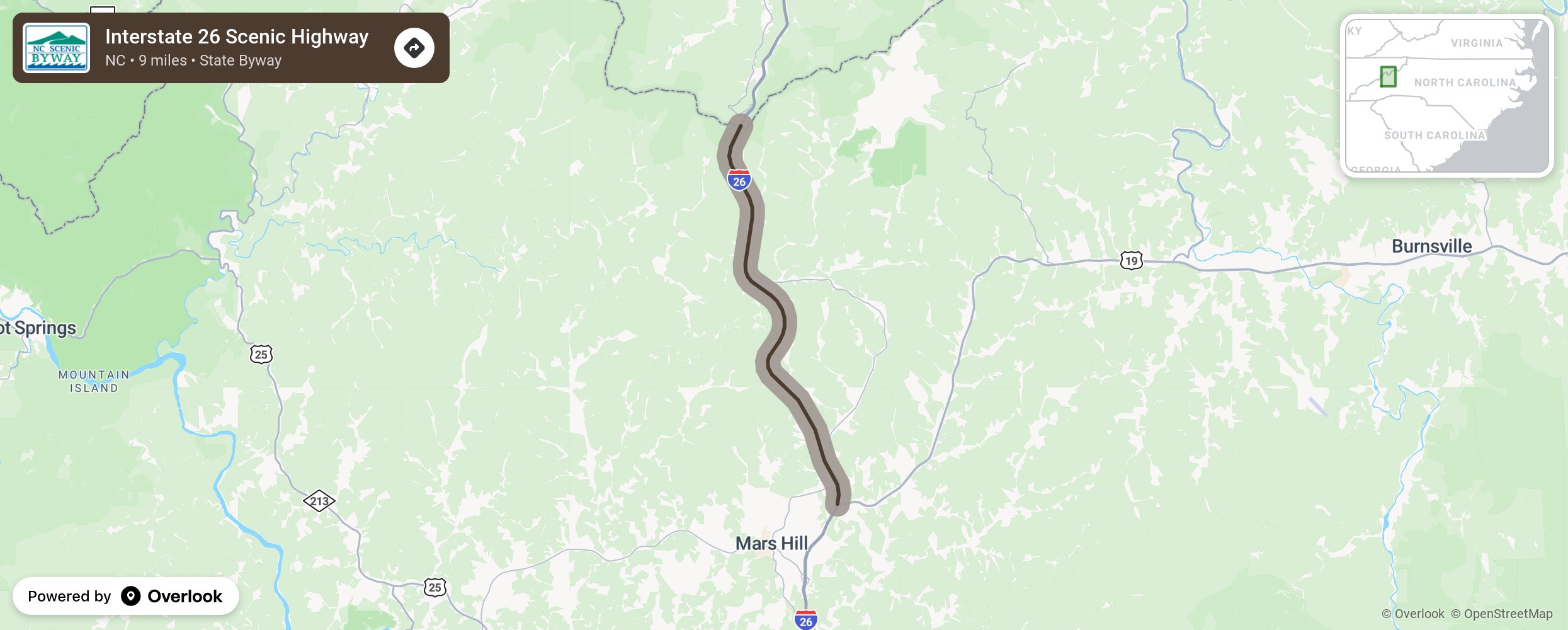
Located in some of North Carolina’s highest terrain, the Interstate 26 Scenic Highway in Madison County takes motorists straight through the heart of the Appalachian Mountains and offers stunning views, as well as engineering and environmental wonders. The byway begins in Mars Hill. Just west of Exit 9 on I-26 is the first of two scenic overlooks along the highway. In addition to sweeping views of the Madison County landscape, careful observers will spot the Blue Ridge Parkway across the valley and the tiny California Creek Church below the highway. Near the overlook, but not visible from the interstate, is one of two wildlife passages constructed underneath the highway. The second scenic overlook is located at the welcome center. From the observation point, visitors can view Mount Mitchell, the highest peak east of the Mississippi River, as well as Black Mountain, Grandfather Mountain, and the Blue Ridge Parkway. Passing the welcome center, the highway climbs until it reaches its highest point, Buckner Gap. At nearly 5,000 feet above sea level, this point is the highest elevation on any interstate in North Carolina. A few miles from the state line, the highway crosses the Laurel River near the Wolf Laurel community. At 235 feet, the Laurel River bridge is the tallest in North Carolina. More from National Scenic Byway Foundation →
Embed this map on your site
You are welcome to add this map to your own website for free, as long as you do so using the below code snippet in its entirety.
Please get in touch with us if you have any questions!
      <iframe src="https://overlookmaps.com/byways/nc-interstate-26-scenic-highway"></iframe>
    <a href="https://overlookmaps.com/">Map courtesy of Overlook Maps</a>