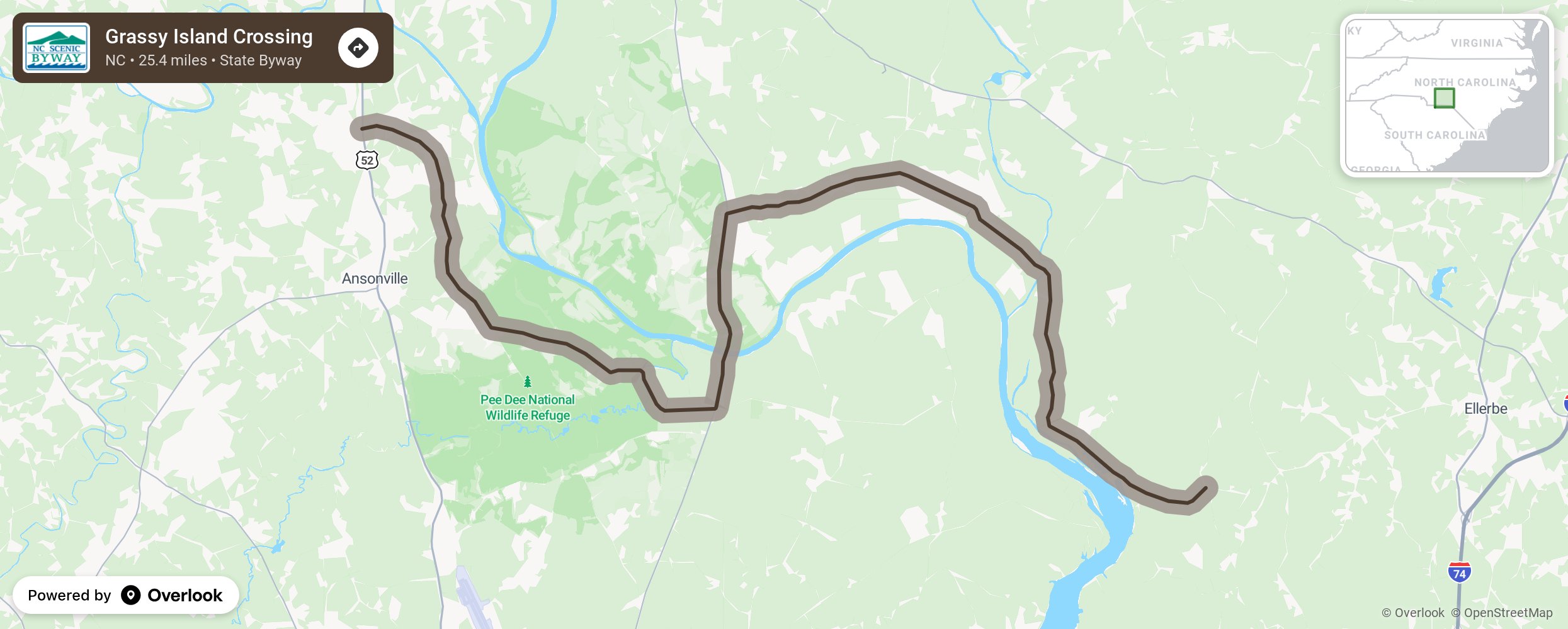
Grassy Island Crossing

The byway is named for Grassy Island, a group of earthen masses in the Pee Dee River north of Blewett Falls Lake along the Anson/Richmond County line. Along the route, travelers will pass by pine and hardwood forests, swamps, and farms along the banks of the Pee Dee River. The Pee Dee River, formed by the junction of the Yadkin and Uwharrie rivers in Montgomery County, flows south along the Anson/Richmond County line and into South Carolina where it empties into Winyah Bay. When nearing the end of the route, the byway begins to feature the geological transition between the lowland Piedmont region to the Uwharrie Mountain expanse. Neighboring the byway to the south is Blewett Falls Lake, which provides recreation opportunities for the public through boat ramps and access points for fishing on the lake. More from National Scenic Byway Foundation →
Embed this map on your site
You are welcome to add this map to your own website for free, as long as you do so using the below code snippet in its entirety.
Please get in touch with us if you have any questions!
      <iframe src="https://overlookmaps.com/byways/nc-grassy-island-crossing"></iframe>
    <a href="https://overlookmaps.com/">Map courtesy of Overlook Maps</a>