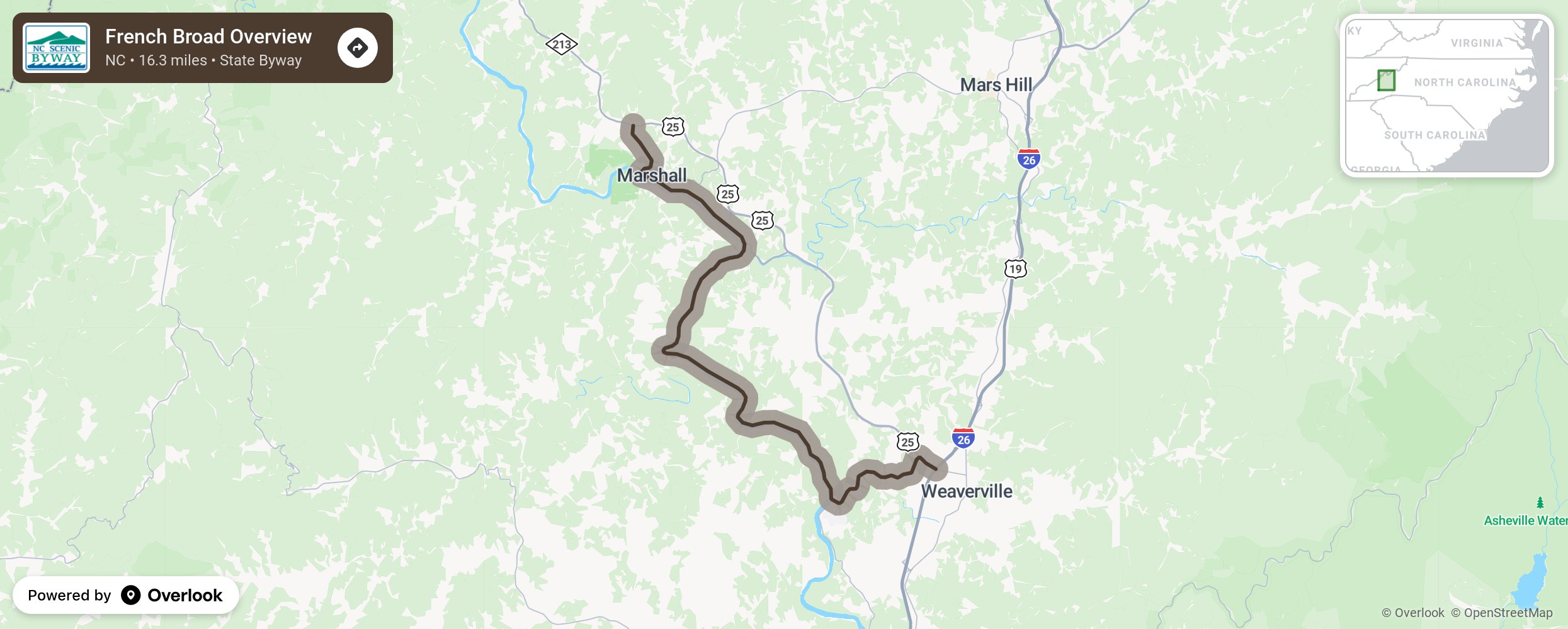
French Broad Overview

The French Broad Overview meanders its way west from Weaverville to Marshall along the active banks of the French Broad River. The river, originally known to the English as the Broad River, was further named for the French, who during the 18th-century, inhabited the region west of the Blue Ridge where the Broad River drained. The French Broad River is the longest free flowing river in the state. Although the river was originally used to transport goods, it is now used as a recreational playground with locals and tourists flocking to the river in the summer months to go canoeing, tubing, and rafting. This road, like many others in river valleys, was built following old Native American trading paths that led to trading posts and villages in the Tennessee and Ohio River valleys. Note the palisades, or sheer rock walls, that line the right side of the road. Over time, the wide river cut away at the rock valley walls. Migrating animals and Native Americans used this passage to cross through the Eastern United States’ tallest mountains. When European settlers arrived, they also followed the river valleys and paths set by those before them and widened the paths into roads. With the arrival of trains, river valleys again provided the path of least resistance. More from National Scenic Byway Foundation →
Embed this map on your site
You are welcome to add this map to your own website for free, as long as you do so using the below code snippet in its entirety.
Please get in touch with us if you have any questions!
      <iframe src="https://overlookmaps.com/byways/nc-french-broad-overview"></iframe>
    <a href="https://overlookmaps.com/">Map courtesy of Overlook Maps</a>