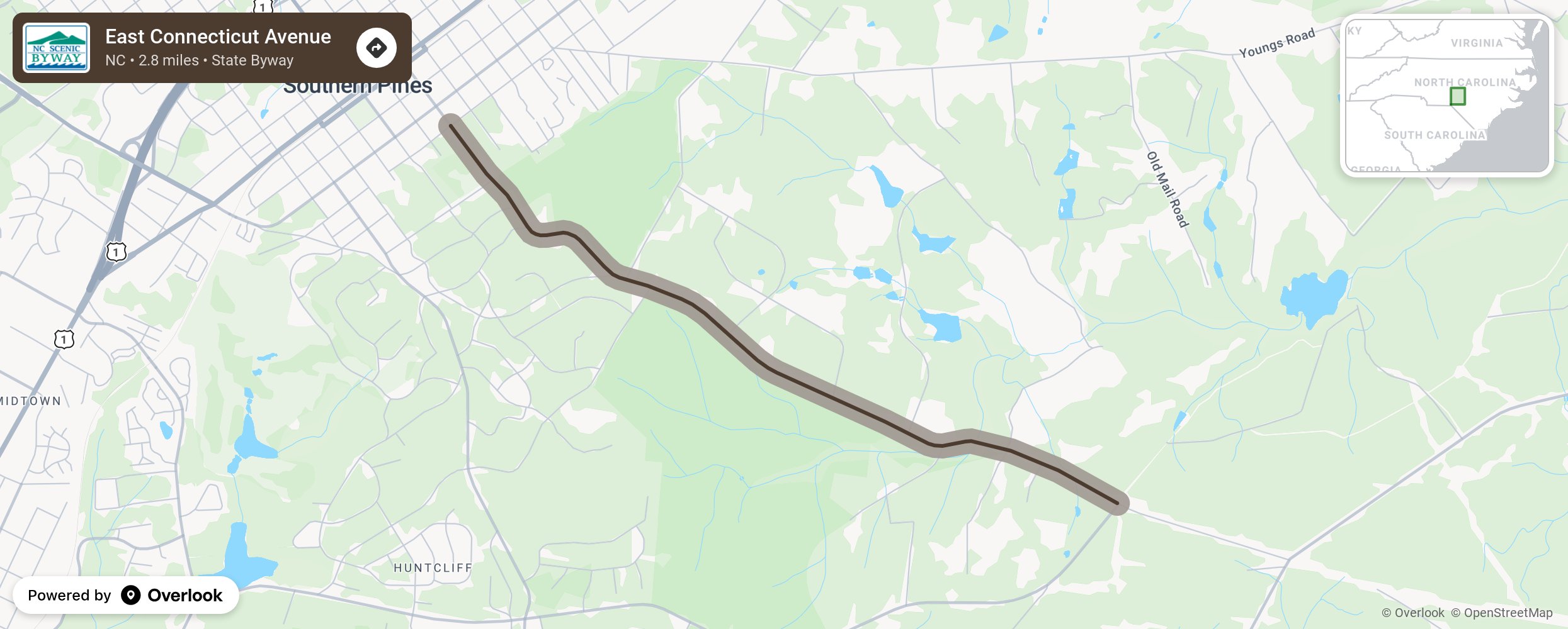
East Connecticut Avenue

East Connecticut Avenue is a winding country road with soft curves and rolling topography that showcases the long-leaf pine forest ecosystem, historic estates, and charming horse farms of the local Sandhills community of Southern Pines. The Sandhills, which lie between the Piedmont and the Coastal Plain, is a physiographic region identified by broad rolling terrain covered in deep coarse sand that was first settled by Highland Scots in the early 1700s. (Scientists believe that the region was formed by the deposits of the rising and receding of oceans. Everywhere water met land beaches were formed, and they would leave behind sandhills once the water receded again). These areas were once used to supply materials for naval operation stores. Timber would be stripped from the land and used as masts for large ships, and resin would be collected from the pine trees to create turpentine, pitch, tar, and rosin for the hulls, ropes, and decks of these same ships. Today, these pine forests are protected and used for ecological research and recreational activities. More from National Scenic Byway Foundation →
Embed this map on your site
You are welcome to add this map to your own website for free, as long as you do so using the below code snippet in its entirety.
Please get in touch with us if you have any questions!
      <iframe src="https://overlookmaps.com/byways/nc-east-connecticut-avenue"></iframe>
    <a href="https://overlookmaps.com/">Map courtesy of Overlook Maps</a>