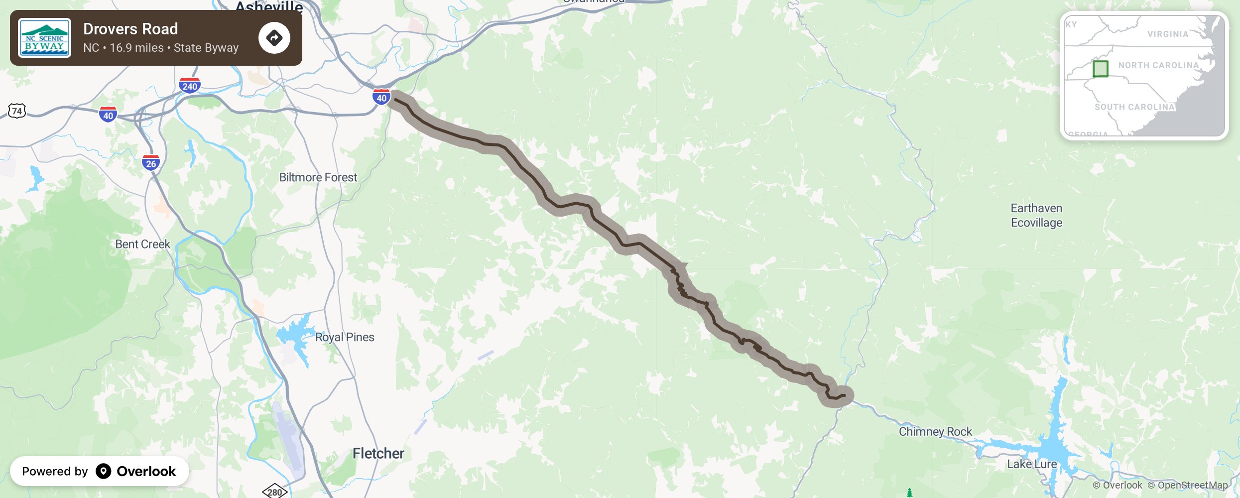
Drovers Road

Drovers Road byway traverses through a wide range of landscapes from a natural plateau to narrow mountain gorges with spectacular views. The hillsides along the byway are covered in stands of mature trees, and during the spring and early summer, motorists are treated to a visual symphony of flowering trillium and mountain laurel. As the byway works its way through the mountains from Asheville, notice Little Pisgah Mountain (elevation 4,412 feet) to the east, whose peak was once known to the Cherokee as Konnatoga. As you pass through the Hickory Nut Gorge, keep a look out for Bearwallow Mountain and Hickory Nut Creek (also known as the Rocky Broad). The high, steep sides of the gorge are covered in a cascade of rocks, trees, and rhododendron. In the spring, travelers may see trees with deep lavender blooms scattered along this drive. George Vanderbilt originally brought this plant, known as the Paulownia tree or Empress tree, to the Carolinas, but since then, it has become highly invasive to this mountainous region. Though this area has changed considerably during the past century, its beauty still abounds, and the paths blazed through this region a century ago are the same avenues of choice today. More from National Scenic Byway Foundation →
Embed this map on your site
You are welcome to add this map to your own website for free, as long as you do so using the below code snippet in its entirety.
Please get in touch with us if you have any questions!
      <iframe src="https://overlookmaps.com/byways/nc-drovers-road"></iframe>
    <a href="https://overlookmaps.com/">Map courtesy of Overlook Maps</a>