Birkhead Wilderness Route

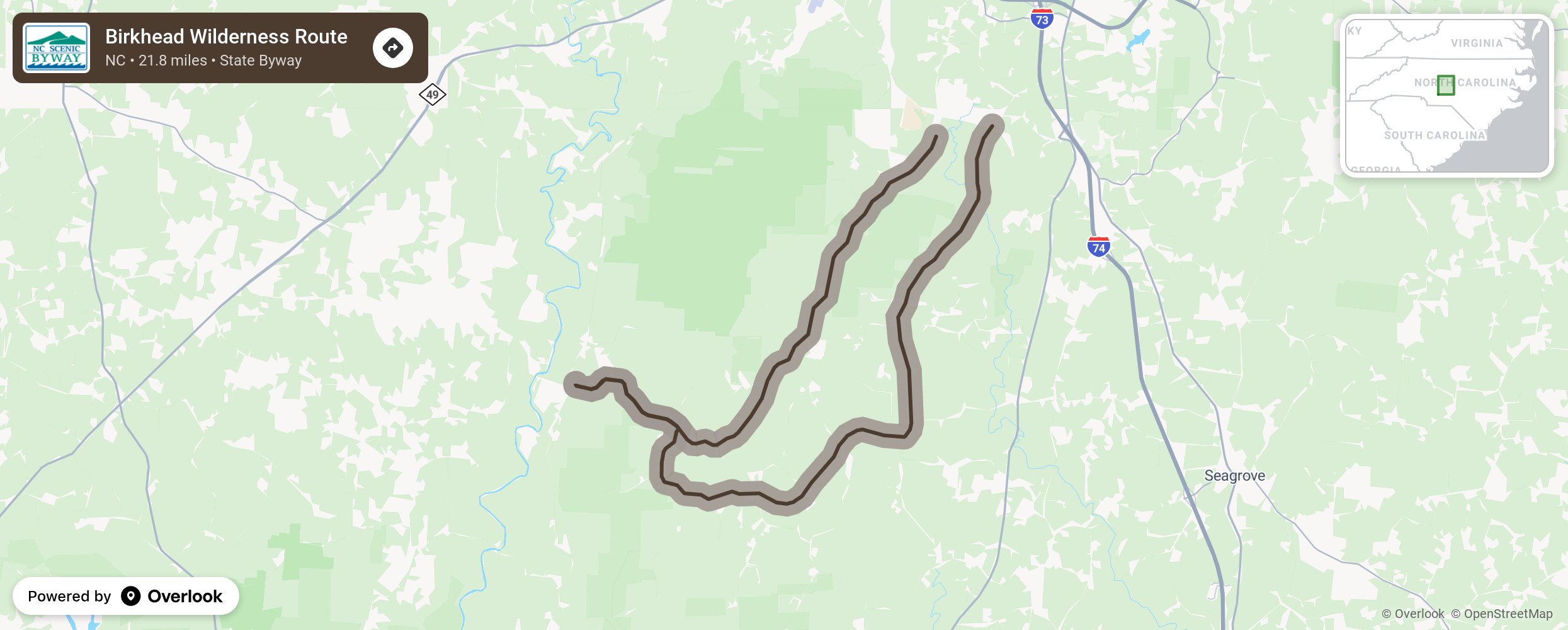
The Birkhead Wilderness Route features the Uwharrie Mountains, considered to be some of the oldest mountains in North America. This byway is specifically named after the Birkhead Mountains Wilderness, a remote section of the Uwharrie National Forest covering over 5,100 acres in southern Randolph County. The rugged area offers a more remote experience with fewer visitor amenities than other sections of the Uwharrie National Forest. Near the community of Lassiter Mill within the Uwharrie National Forest, the route crosses a well-preserved mix of hardwood forests, open pasture land, and numerous native rock outcroppings. Several hiking trails can be accessed within the vicinity of Lassiter Mill, including the Birkhead Mountain, Robbins Branch, and Hannah’s Creek trails that wind through 10 miles of the wilderness area. Evidence of pioneer settlement—old homesteads, crumbling chimneys, and gold mining activity—can still be seen here. If travelers choose to ride the byway extension they will encounter much of the same terrain and intrinsic qualities as the main route, such as hardwood mixed forests, pastureland, and rock outcroppings. On the byway extension, they will get the chance to explore the historic Pisgah Covered Bridge, which provides a quaint reminder of simpler times. More from National Scenic Byway Foundation →
Embed this map on your site
You are welcome to add this map to your own website for free, as long as you do so using the below code snippet in its entirety.
Please get in touch with us if you have any questions!
      <iframe src="https://overlookmaps.com/byways/nc-birkhead-wilderness-route"></iframe>
    <a href="https://overlookmaps.com/">Map courtesy of Overlook Maps</a>