Big Horse Creek Scenic Byway

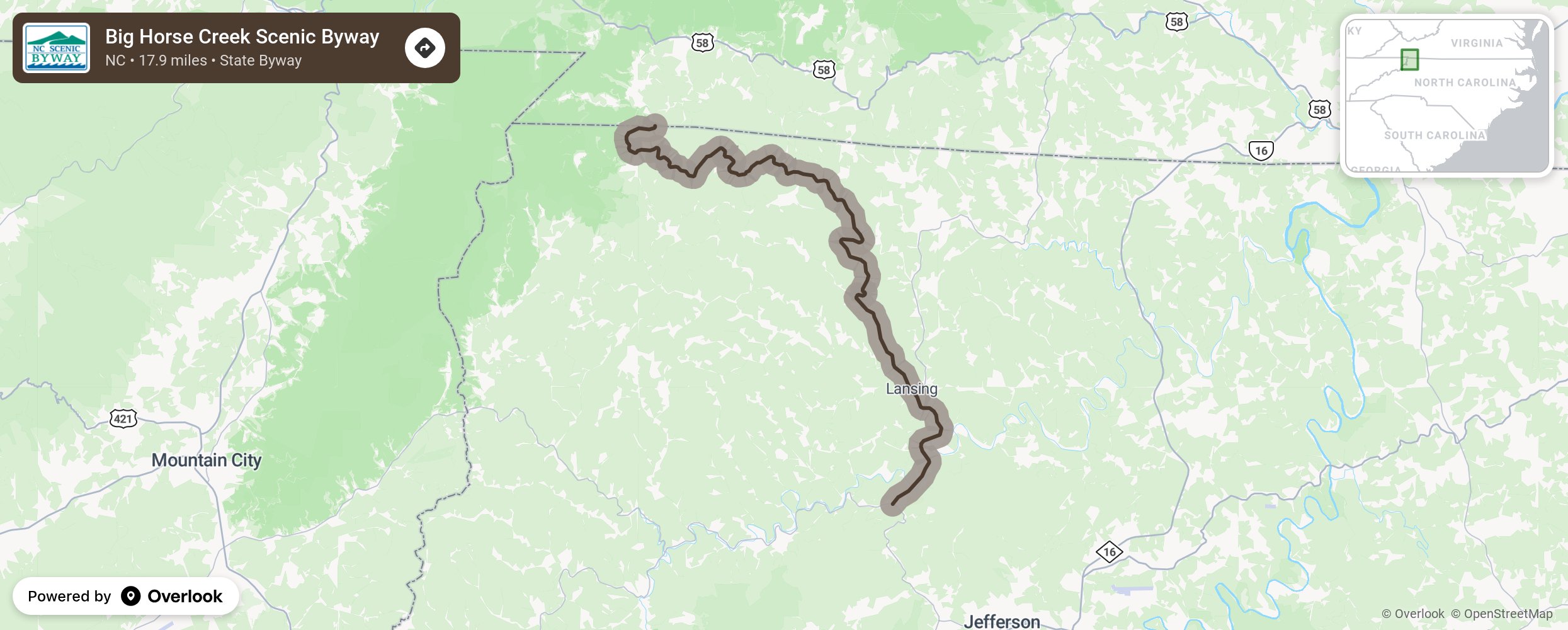
Big Horse Creek Scenic Byway highlights the rural life in the beautiful mountains of Ashe County. The county was once known as one of North Carolina’s “lost provinces,” a remote, inaccessible county cut off from the rest of the state by the Eastern Continental Divide where, it was said, that the only way to get there was to be born there. As the byway begins, notice the peaks (4,710 feet elevation) of Phoenix Mountain to the east. Just as the rugged mountains close in with their densely wooded terrains, the byway gives way to the verdant pastures along the creek bottoms that extend up the bluffs. This rustic countryside is a short distance from undisturbed natural areas such as Pond Mountain and the Cherokee National Forest. The byway parallels Big Horse Creek all the way into the town of Lansing and crosses it again in numerous locations, making it a great place to cruise with the windows down to enjoy the sound of the rushing water. Occasionally, the road rises and follows the ridge above the creek where travelers can witness spectacular views of the narrow valleys with farmhouses, farm animals, old barns, and country churches. The hillsides feature mixed forests with intermittent pastures and Christmas tree farms. More from National Scenic Byway Foundation →
Embed this map on your site
You are welcome to add this map to your own website for free, as long as you do so using the below code snippet in its entirety.
Please get in touch with us if you have any questions!
      <iframe src="https://overlookmaps.com/byways/nc-big-horse-creek-byway"></iframe>
    <a href="https://overlookmaps.com/">Map courtesy of Overlook Maps</a>