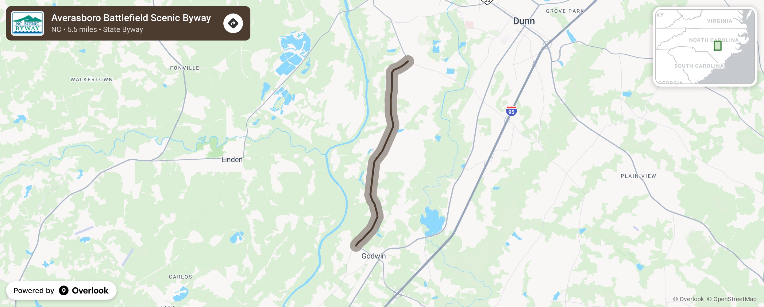
Averasboro Battlefield Scenic Byway

The Averasboro Battlefield Byway takes motorists through the heart of one of the Civil War’s last battlefields. The byway follows the route of Union General William T. Sherman’s march through the Cape Fear River Valley just north of Fayetteville in Cumberland and Harnett Counties. Prior to the Civil War, the French General Marquis de Lafayette also traveled along this road on his way to Fayetteville during his 1825 tour of the United States. While the byway’s history primarily involves the Civil War, this route was an important part of the plank road system, wooden roadways created from nearby timber, in the mid-1800s. As the byway begins, motorists will notice the small farms and patches of woodland that dot the route. This area forms a small plateau between the floodplains of the Cape Fear and Black Rivers. Along the byway, motorists will notice a number of historical markers. These markers tell the story of how Southern troops tried in vain to stop the advance of Sherman in the Averasboro community. The Averasboro Battlefield Museum, just past the Chicora Cemetery, houses exhibits on the Battle of Averasboro, and each year a reenactment of the battle is held on the museum grounds. More from National Scenic Byway Foundation →
Embed this map on your site
You are welcome to add this map to your own website for free, as long as you do so using the below code snippet in its entirety.
Please get in touch with us if you have any questions!
      <iframe src="https://overlookmaps.com/byways/nc-averasboro-battlefield-byway"></iframe>
    <a href="https://overlookmaps.com/">Map courtesy of Overlook Maps</a>