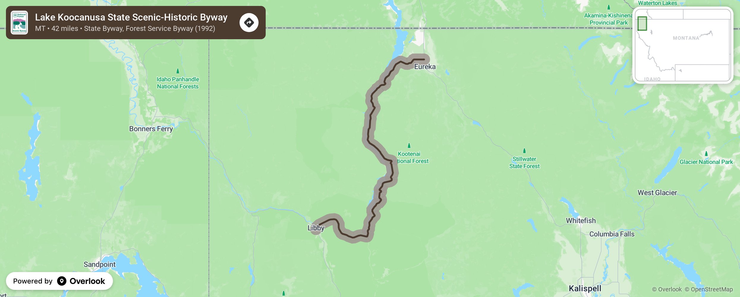
Lake Koocanusa State Scenic-Historic Byway

Lake Koocanusa Scenic Byway, in the Kootenai National Forest in northwestern Montana, was created in 1992. It follows the Kootenai River and Lake Koocanusa via State Highway 37. Open year-round, this 67-mile route connects Libby and Eureka. The byway also includes a side loop (Forest Development Road 228) around the west side of the lake, a more leisurely, two-lane, paved route that is closed in winter. Numerous hiking trails in the Kootenai National Forest intersect the Byway. A 100-mile long circular bicycle tour begins at Libby Dam. More from National Scenic Byway Foundation →
Embed this map on your site
You are welcome to add this map to your own website for free, as long as you do so using the below code snippet in its entirety.
Please get in touch with us if you have any questions!
      <iframe src="https://overlookmaps.com/byways/mt-lake-koocanusa-scenic-byway"></iframe>
    <a href="https://overlookmaps.com/">Map courtesy of Overlook Maps</a>