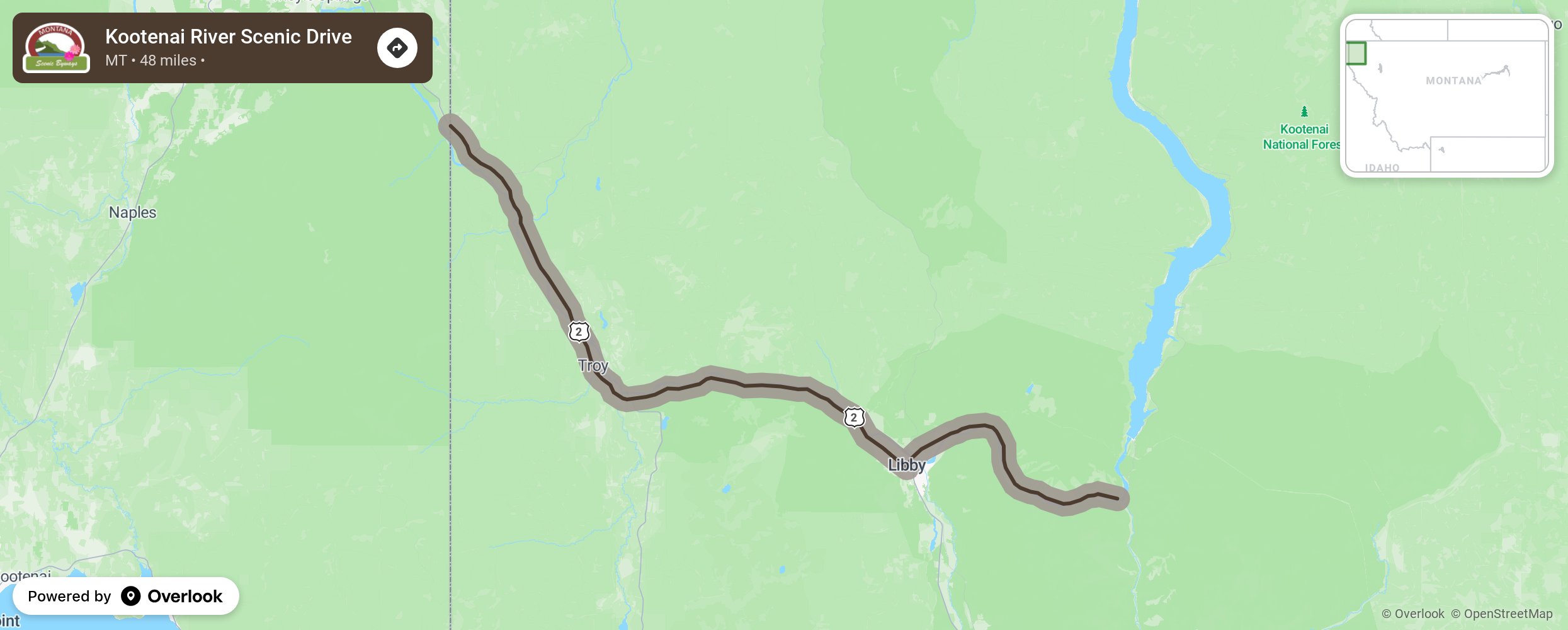
Kootenai River Scenic Drive

This scenic drive follows the Kootenai River from the intersection of Highway 37 and Forest Development Road (FDR) 228, ending at the Montana/Idaho border. Libby Dam regulates the water supply from the 90-mile-long Lake Koocanusa into this river making it a great habitat for wildlife viewing- eagles, osprey, deer, mountain sheep, and migratory ducks and geese. The Kootenai River offers opportunities for trout fishermen. Kootenai Falls has a picnic area, viewpoint, and access to a swinging bridge that crosses the river. Osprey Landing and Libby Riverside Park each have a boat ramp. More from National Scenic Byway Foundation →
Embed this map on your site
You are welcome to add this map to your own website for free, as long as you do so using the below code snippet in its entirety.
Please get in touch with us if you have any questions!
      <iframe src="https://overlookmaps.com/byways/mt-kootenai-river-scenic-drive"></iframe>
    <a href="https://overlookmaps.com/">Map courtesy of Overlook Maps</a>