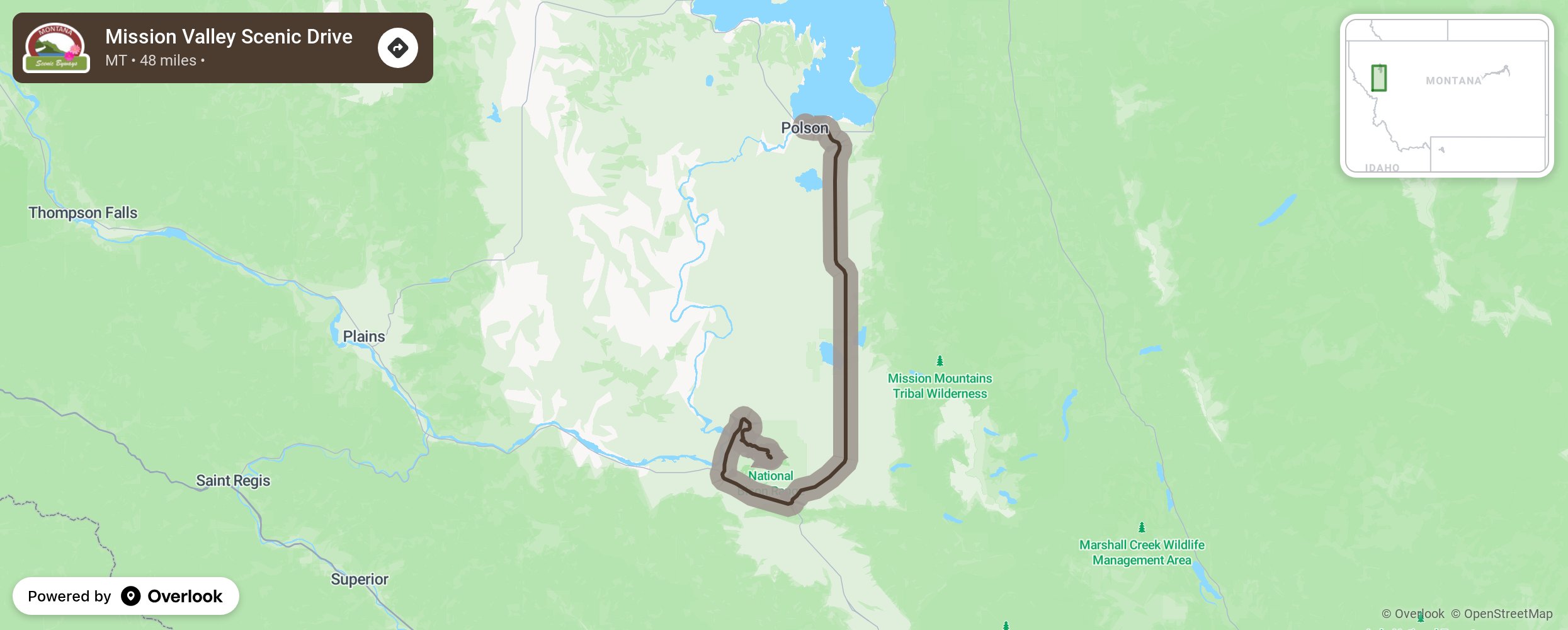
Mission Valley Scenic Drive

This byway is in a natural valley formed by the 10,000-foot peaks of the Mission Mountains and starts around the southern end of Flathead Lake. Mission Valley also includes the Flathead Indian Reservation, home to the Salish, Kootenai, and Pend d’Oreille peoples. Learn more at the People’s Center in Pablo. Recreational opportunities to sail, jet ski, speed boat, or to view wildlife abound. For a more leisurely experience, take a lake cruise on one of the tour boats. Head south on Highway 93 for a stop at two wildlife refuges and the St. Ignatius Mission, then turn onto Highway 200 at Ravalli towards Moiese and around d the National Bison Range. In the summer, take a self-guided tour of the range. You will see about 400 American Buffalo, elk, antelope. mule deer, bighorn sheep, and white-tail deer Cost is $4 per car and takes 2-3 hours or if you prefer, take the shorter half-hour tour. More from National Scenic Byway Foundation →
Embed this map on your site
You are welcome to add this map to your own website for free, as long as you do so using the below code snippet in its entirety.
Please get in touch with us if you have any questions!
      <iframe src="https://overlookmaps.com/byways/mt-mission-valley-scenic-drive"></iframe>
    <a href="https://overlookmaps.com/">Map courtesy of Overlook Maps</a>