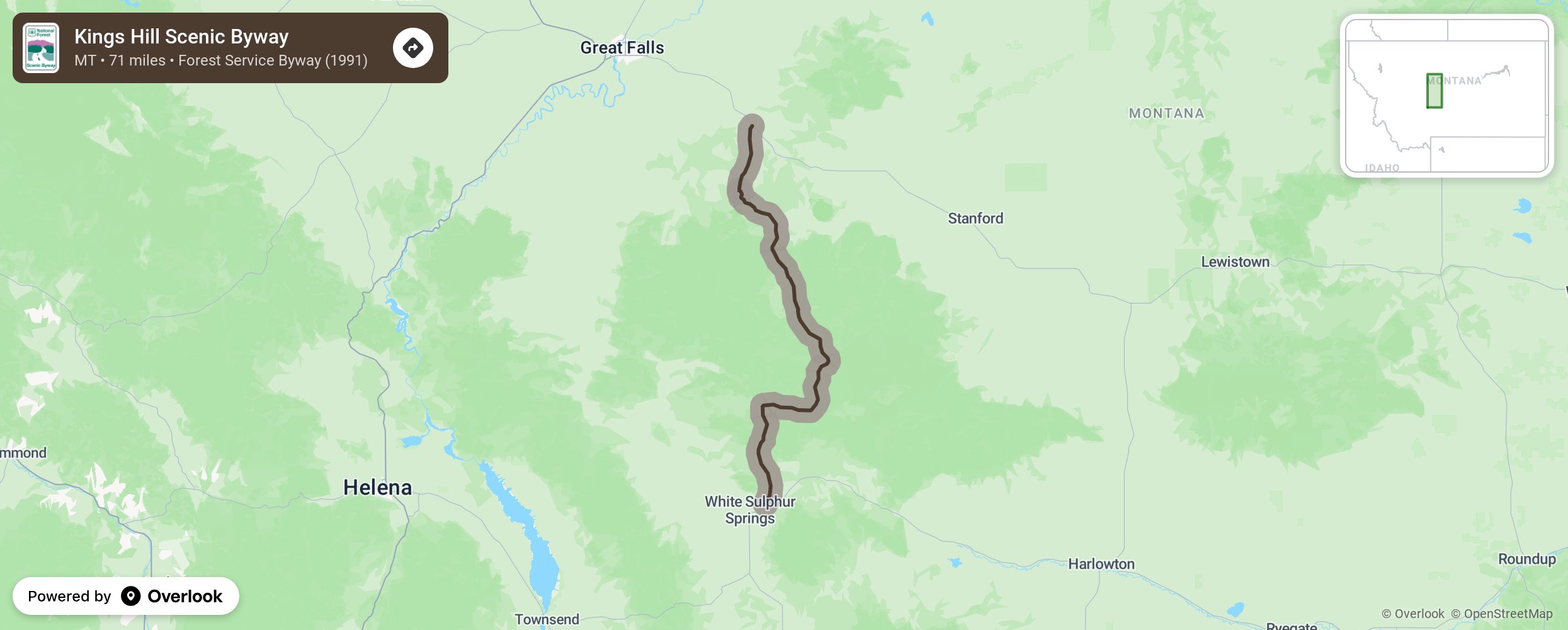
Kings Hill Scenic Byway

Relax and breathe in the fresh air as you travel through the Lewis and Clark National Forest and Little Belt Mountains and past pristine mountain lakes and streams. Enjoy the wildlife viewing and opportunities for boating, fishing, floating, hiking, mountain biking, horseback riding, and snowmobiling on 200 miles of marked trails. Downhill skiers will enjoy Showdown Ski Area with its 1,400 feet of vertical drop and 34 runs. Cross-country skiers will enjoy a 17-mile ski trail system. Save time to visit the many museums and historic mining sites along the route or float down 60 miles of the Smith River. Check out the hot mineral spring at White Sulphur Springs. Check road conditions as winter road condition can be difficult. More from National Scenic Byway Foundation →
Embed this map on your site
You are welcome to add this map to your own website for free, as long as you do so using the below code snippet in its entirety.
Please get in touch with us if you have any questions!
      <iframe src="https://overlookmaps.com/byways/mt-kings-hill-scenic-byway"></iframe>
    <a href="https://overlookmaps.com/">Map courtesy of Overlook Maps</a>