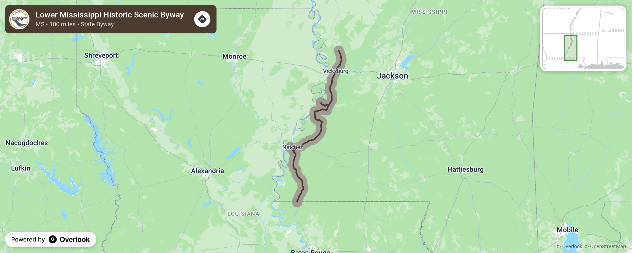
Lower Mississippi Historic Scenic Byway

The Lower Mississippi Historic Byway follows U.S. Highway 61 from Warren County through the counties of Claiborne, Jefferson and Adams and terminates at the Louisiana state line in Wilkinson County. This one hundred plus mile corridor that parallels the Mississippi River captures multiple sites of historical significance at the local, state and national levels. Every aspect of the scenic byway’s criteria can be found along this route and connects four of the oldest settlements along the Mississippi River. These settlements include Natchez, Port Gibson, Vicksburg and Woodville. More from National Scenic Byway Foundation →
Embed this map on your site
You are welcome to add this map to your own website for free, as long as you do so using the below code snippet in its entirety.
Please get in touch with us if you have any questions!
      <iframe src="https://overlookmaps.com/byways/ms-lower-mississippi-historic-scenic-byway"></iframe>
    <a href="https://overlookmaps.com/">Map courtesy of Overlook Maps</a>