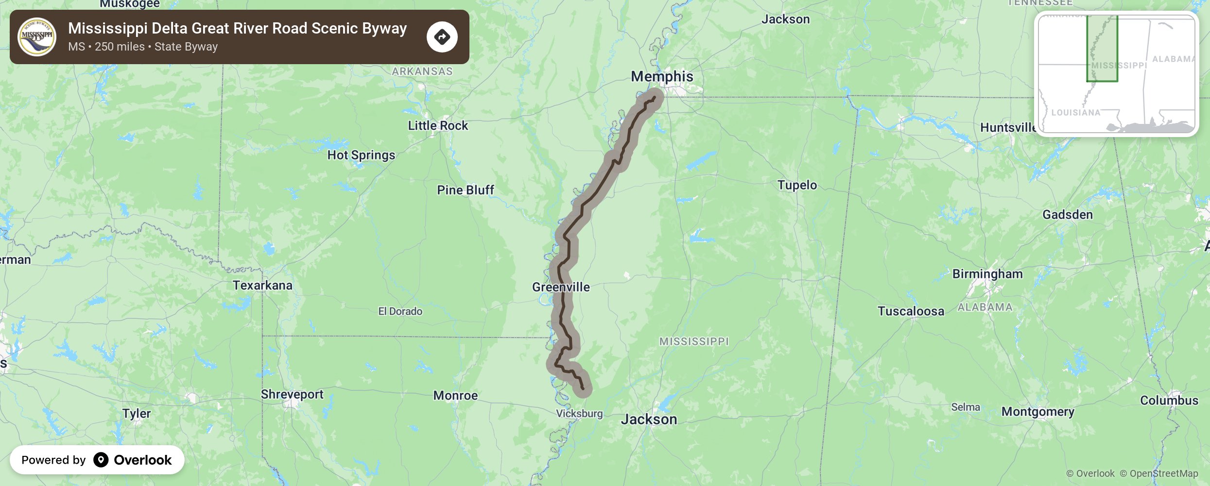
The Mississippi Delta Great River Road Scenic Byway runs along the Mississippi River beginning at the Helena Bridge at the north to the Issaquena-Warren County line at the south. The approximately 175 mile route is part of the Great River Road, which runs along both sides of the Mississippi River from the headwaters at Lake Itasca in Minnesota to the mouth of the river at the Gulf of Mexico.
More from National Scenic Byway Foundation →
Embed this map on your site
You are welcome to add this map to your own website for free, as long as you do so using the below code snippet in its entirety.