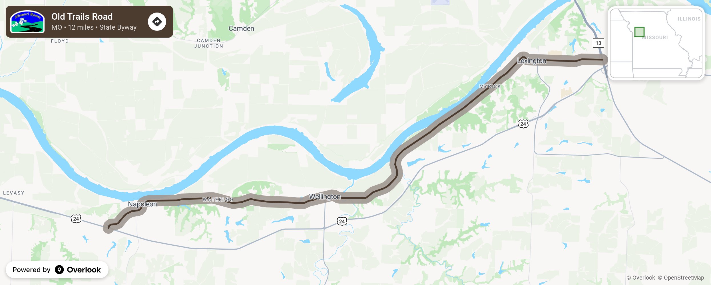
Old Trails Road

The Old Trails Road has been traveled by lots of explorers, pioneers, Native Americans, fur traders, trappers, gold seekers, covered wagons, Jayhawkers, Bushwhackers, coal miners, farmers, Civil War troops, early motorists, and modern day vehicles. The route travels from Napoleon to Missouri City as it travels along the Missouri River. You will find magnificent landmarks, river bluffs, hilltops, and cultural sights, then end at the Cooley Lake Conservation Area or stay in any of the B & B’s along the route to savor all the history and natural sites the area has to offer. More from National Scenic Byway Foundation →
Embed this map on your site
You are welcome to add this map to your own website for free, as long as you do so using the below code snippet in its entirety.
Please get in touch with us if you have any questions!
      <iframe src="https://overlookmaps.com/byways/mo-old-trails-road"></iframe>
    <a href="https://overlookmaps.com/">Map courtesy of Overlook Maps</a>