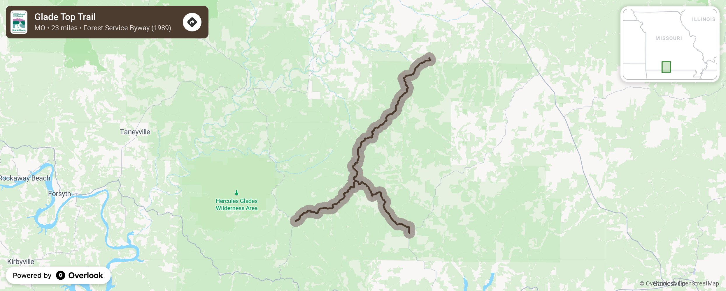
Seven overlook pull-outs provide panoramic views of the Springfield Plateau to the northwest and south to the Boston Mountains in Arkansas. This two-lane, all-weather road was constructed by the Civilian Conservation Corps in the late 1930’s and was named for the beautiful glades that surround the ridge tops. A glade is an open space surrounded by woods and filled with sunshine.
More from National Scenic Byway Foundation →
Embed this map on your site
You are welcome to add this map to your own website for free, as long as you do so using the below code snippet in its entirety.