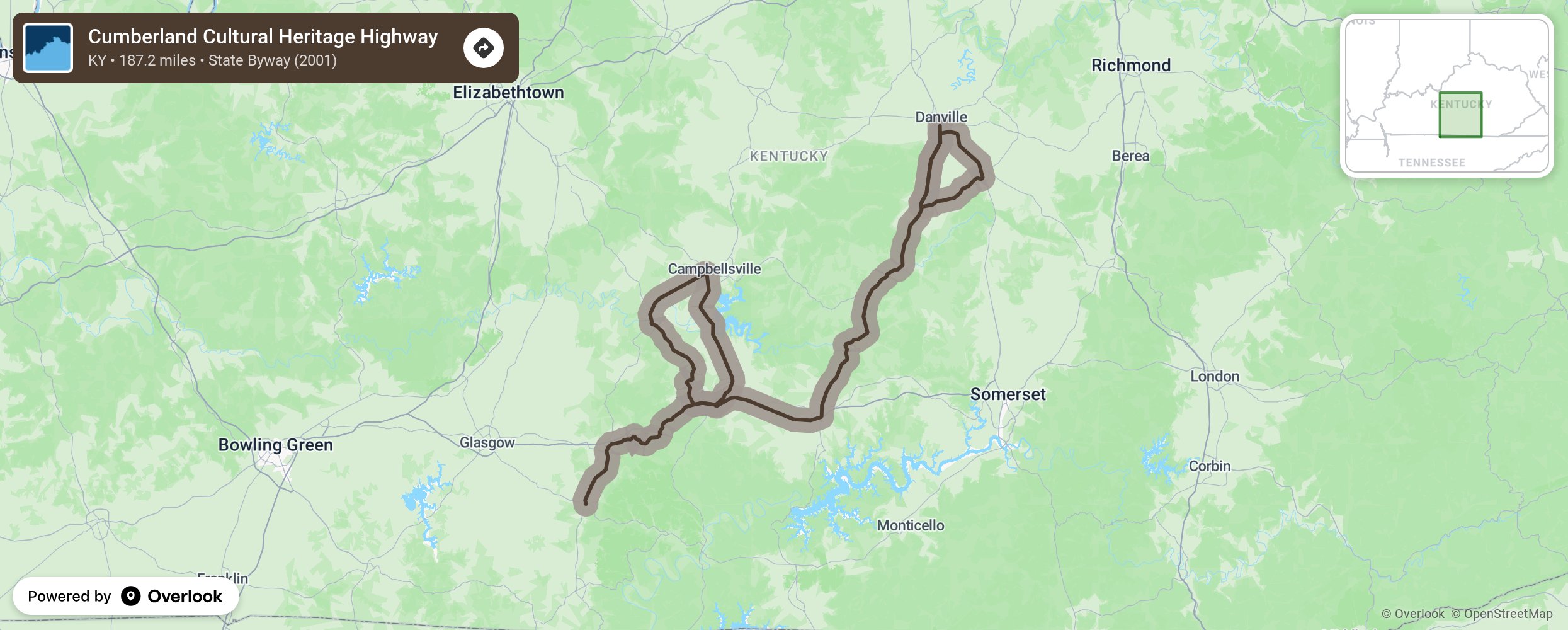
Cumberland Cultural Heritage Highway

The Cumberland Cultural Heritage Highway pays homage to the early settlers who traveled through the Cumberland Gap and made this area in south central Kentucky their home. It has unique architecture, clothing, culture, and language patterns. History of mining, railroading, and Civil War battles dot the byway. Three main attractions in the area, once made for flood control, are Lake Cumberland, Dale Hollow Lake, and Green River. They offer many recreational opportunities for boating, fishing, birding, rafting, hiking, canoeing, and sailing. Enjoy the rural atmosphere of Kentucky away from the busy cities. The byway is made up of several state highways with three distinct unconnected sections. One is from Burkesville to Monticello on Highway 90 as it travels around the southern end of Lake Cumberland State Resort. Another section is on Highway 235 from the Lake Cumberland Wildlife Management Area to Mills Springs, a Civil War Point of Interest. The last route travels from Beuamont to Columbia with a shoot off to Campbellsville and the main section heading on to Danville and taking a loop to Stanford before returning to Highway 127 at Hustonville. More from National Scenic Byway Foundation →
Embed this map on your site
You are welcome to add this map to your own website for free, as long as you do so using the below code snippet in its entirety.
Please get in touch with us if you have any questions!
      <iframe src="https://overlookmaps.com/byways/ky-cumberland-cultural-heritage-highway"></iframe>
    <a href="https://overlookmaps.com/">Map courtesy of Overlook Maps</a>