Gypsum Hills Scenic Byway

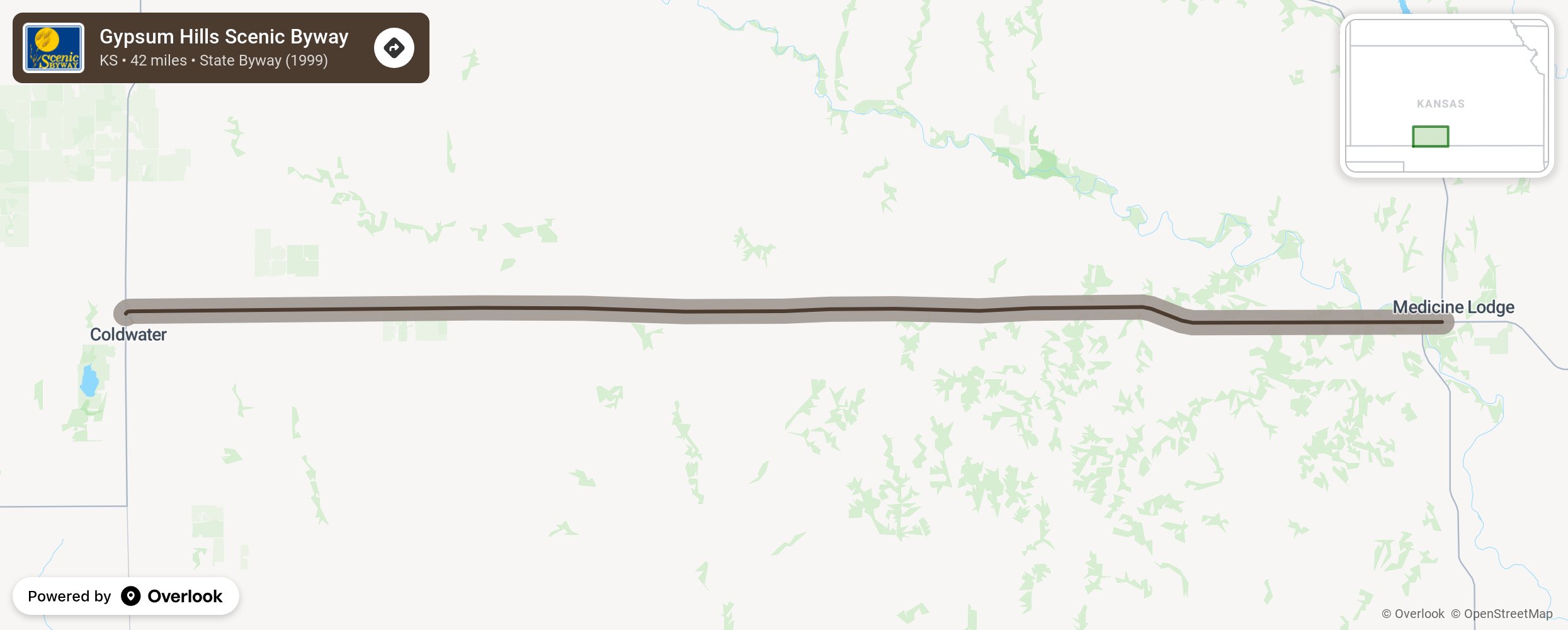
The Gypsum Hills are an unexpected change of landscape nestled in the south-central Kansas prairie, and the Gypsum Hills Scenic Byway is the opportunity to experience this enchantingly beautiful region. This 42-mile route on US Highway 160 offers picturesque scenery which includes rolling hills of native grass, mesas, canyons and buttes. Also known as the Gyp Hills or Red Hills, the area has iron rich, rust-colored soil which is contrasted dramatically by cedar trees and grassland. The Gypsum Hills Scenic Byway affords tantalizing views of the rugged landscape and includes two scenic overlooks to help soak it all in or capture some photographs. A scenic gravel drive loops south of the byway, offering the most interesting scenery along dirt roads on the open range. A drive along these roads is likely to be rewarded with glimpses of pheasant, deer, raccoons and other wildlife. The byway is book-ended by the towns of Medicine Lodge and Coldwater, with opportunities to bike, hike, bird, camp, climb, fish and swim. Art galleries, museums, restaurants, and shops provide other options to explore and enjoy. The area has a rich history of Native American culture and cattle ranching. Popular launch points are Memorial Peace Park just east of Medicine Lodge, a byway corridor rest area with unique greenspace, or Coldwater Lake, with water-related sporting opportunities and camping. Go to visitgyphills.com for more information. More from National Scenic Byway Foundation →
Embed this map on your site
You are welcome to add this map to your own website for free, as long as you do so using the below code snippet in its entirety.
Please get in touch with us if you have any questions!
      <iframe src="https://overlookmaps.com/byways/ks-gypsum-hills-scenic-byway"></iframe>
    <a href="https://overlookmaps.com/">Map courtesy of Overlook Maps</a>