Frontier Military Historic Byway

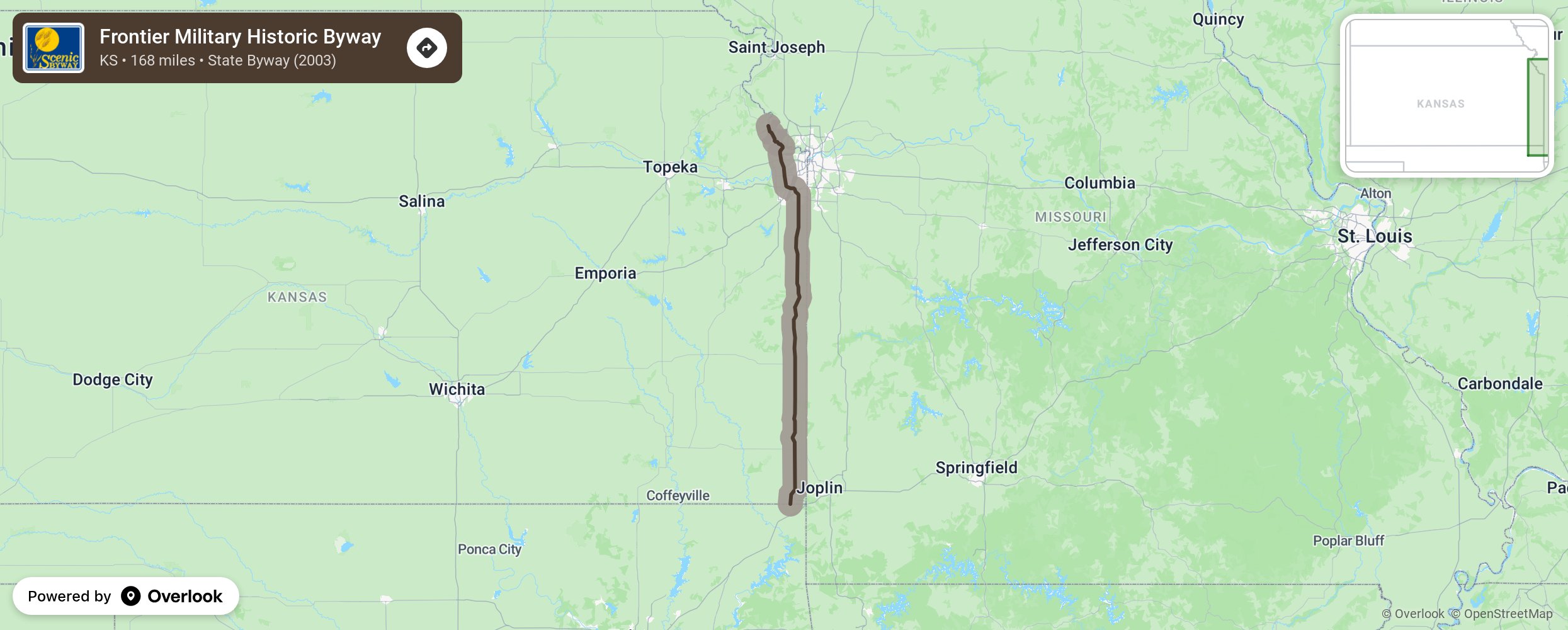
This byway is in close proximity to the old Military Road which was established in 1844 by General Winfield Scott and used as a supply route from Fort Leavenworth to Fort Gibson in Oklahoma. The military also used it for travel from Minnesota to Louisiana, along the Indian Territory to the west. Today, early settlement life is depicted in the homesteads and museums, such as the John Brown Museum, along the route. Stop at the riverfront, many wildlife areas, and parks and explore the opportunities to go hiking, birding, fishing, camping, and hunting. Also enjoy the varied eating establishments and lodging options in the communities the byway travels through. Frontier Military Historic Byway is a north/south route that begins in Leavenworth, travels through the Kansas City metro area, and ends at the Kansas/Oklahoma border. More from National Scenic Byway Foundation →
Embed this map on your site
You are welcome to add this map to your own website for free, as long as you do so using the below code snippet in its entirety.
Please get in touch with us if you have any questions!
      <iframe src="https://overlookmaps.com/byways/ks-frontier-military-historic-byway"></iframe>
    <a href="https://overlookmaps.com/">Map courtesy of Overlook Maps</a>