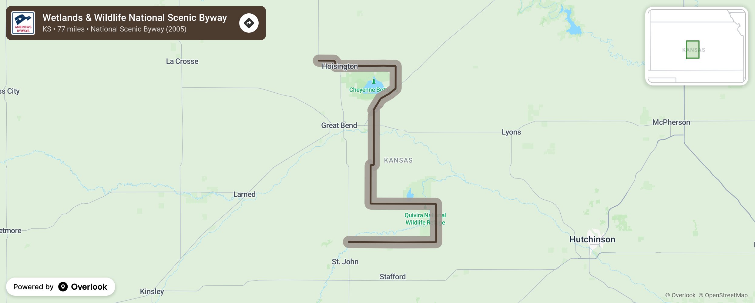
Wetlands & Wildlife National Scenic Byway

One of two national scenic byways in Kansas, the Wetlands & Wildlife National Scenic Byway is a 77-mile route anchored by two of the most important wetlands in the U.S.: Cheyenne Bottoms and Quivira National Wildlife Refuge. Visit the internationally known wetlands to see migrating shorebirds, waterfowl, and other wildlife, but plan for frequent stops at points of interest in seven corridor communities along the way, to see historic native stone buildings, underground tunnels, metal street art, WPA art projects, an operating flour mill, part of the Santa Fe Trail, SRCA Drag Strip, and more. More from National Scenic Byway Foundation →
Embed this map on your site
You are welcome to add this map to your own website for free, as long as you do so using the below code snippet in its entirety.
Please get in touch with us if you have any questions!
      <iframe src="https://overlookmaps.com/byways/ks-wetlands-and-wildlife-scenic-byway"></iframe>
    <a href="https://overlookmaps.com/">Map courtesy of Overlook Maps</a>