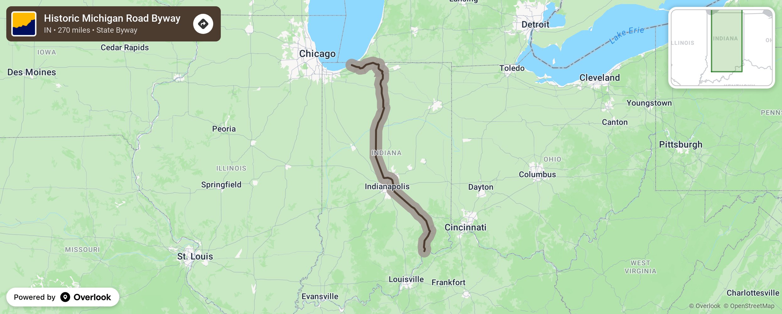
Historic Michigan Road Byway

Once a dirt path through the woods used by the pioneer, as a path to freedom by runaway slaves, and as a trail down which the Native American was removed from their lands this road was built in the 1830s to connect the Ohio River to Indianapolis and to Lake Michigan. Built in the 1830s to connect Ohio River to Indianapolis to Lake Michigan. It travels rough forests, small towns, cities, and farms and is now a series of county, state, and US highways. Stop and see the many outdoor opportunities along the way or historic structures and museums. More from National Scenic Byway Foundation →
Embed this map on your site
You are welcome to add this map to your own website for free, as long as you do so using the below code snippet in its entirety.
Please get in touch with us if you have any questions!
      <iframe src="https://overlookmaps.com/byways/in-the-historic-michigan-road-byway"></iframe>
    <a href="https://overlookmaps.com/">Map courtesy of Overlook Maps</a>