Whitewater Canal Scenic Byway

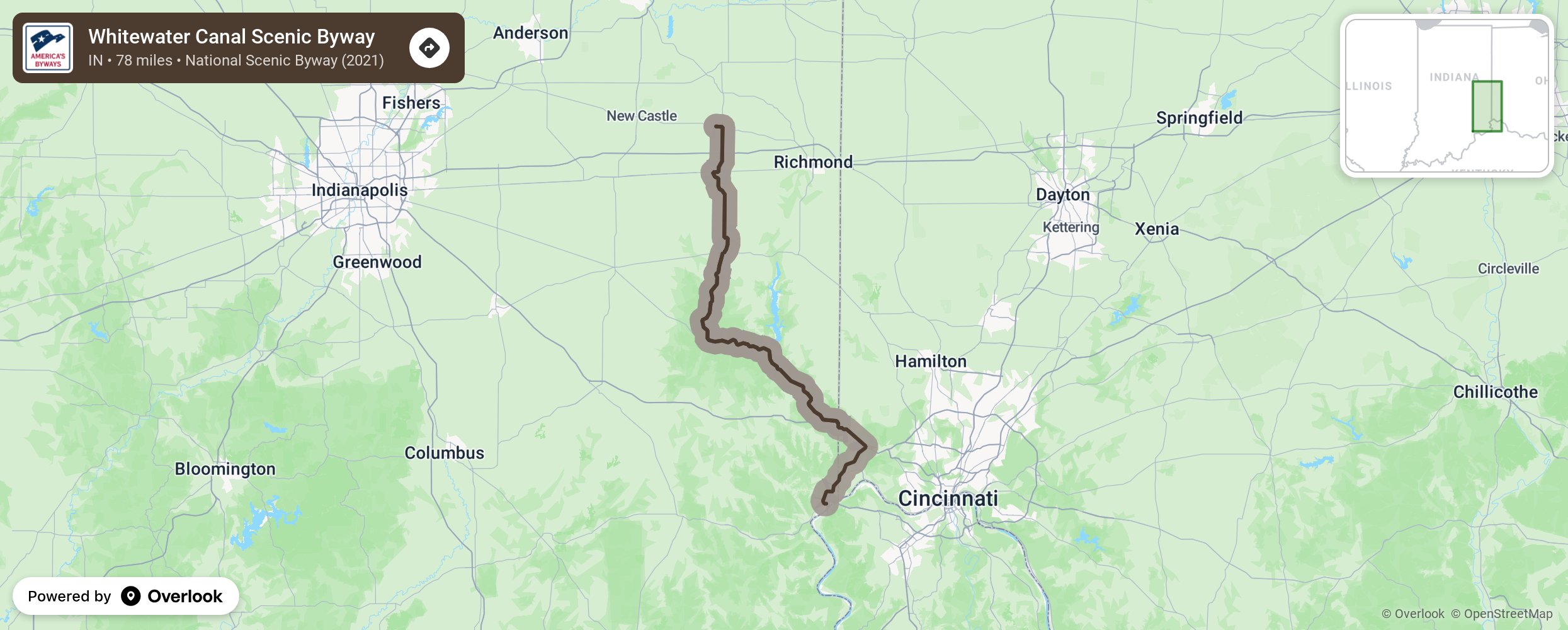
The Whitewater Canal Scenic Byway (WCSB), located in southeastern Indiana, runs in a north to south direction along the twin forks of the Whitewater River. The state byway’s 78-mile Canal Route traces the historic canal along the Whitewater River-West Fork through steep hills, rolling farmland and through charming small towns. Three additional ‘loop’ routes run off of the primary route that include more historic sites throughout souteastern Indiana. More from National Scenic Byway Foundation →
Embed this map on your site
You are welcome to add this map to your own website for free, as long as you do so using the below code snippet in its entirety.
Please get in touch with us if you have any questions!
      <iframe src="https://overlookmaps.com/byways/in-whitewater-canal-scenic-byway"></iframe>
    <a href="https://overlookmaps.com/">Map courtesy of Overlook Maps</a>