Puna–The Red Road Scenic Byway

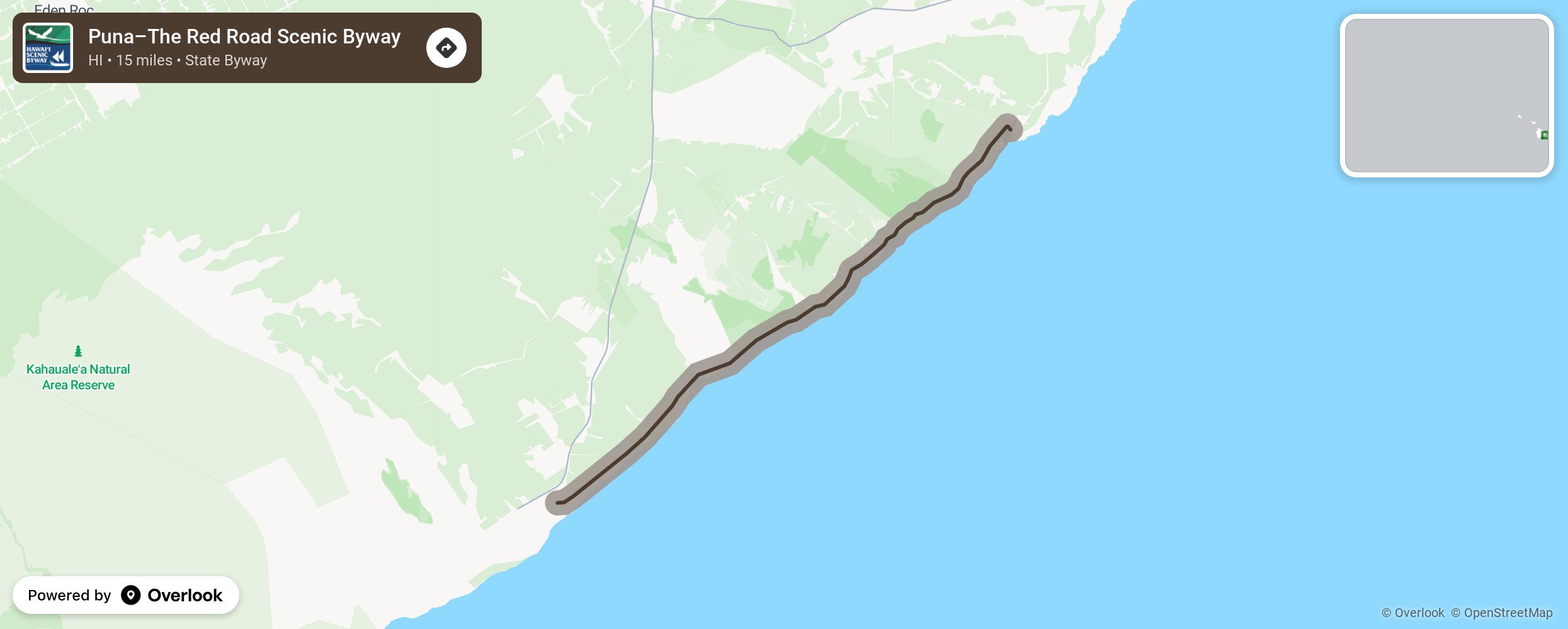
The Red Road in the Puna District of the Big Island was aptly named for its unique red cinder pavement. Today, only the northern stretch of the road has not been resurfaced by black asphalt, but none-the-less the name has remained. This route is a narrow (8 ft wide), winding road traveling along the ocean and over small hills and through lave fields and abundant flora and fauna. Slow down and take your time as you navigate the many blind hills and curves and enjoy the fantastic views, coconut groves, old plantations, and tropical rainforests. Save time for stops at Ahalanui Pond (volcanically heated pond where you can take a dip), MacKenzie State Park, Kehana Beach (a remote black sand beach and an unofficial nude beach), and the Kaimu Beach Echo-Path (easy trail across a lava field leading to a black sand beach.) More from National Scenic Byway Foundation →
Embed this map on your site
You are welcome to add this map to your own website for free, as long as you do so using the below code snippet in its entirety.
Please get in touch with us if you have any questions!
      <iframe src="https://overlookmaps.com/byways/hi-puna-the-red-road-scenic-byway"></iframe>
    <a href="https://overlookmaps.com/">Map courtesy of Overlook Maps</a>