Mamalahoa Kona Heritage Corridor Scenic Byway

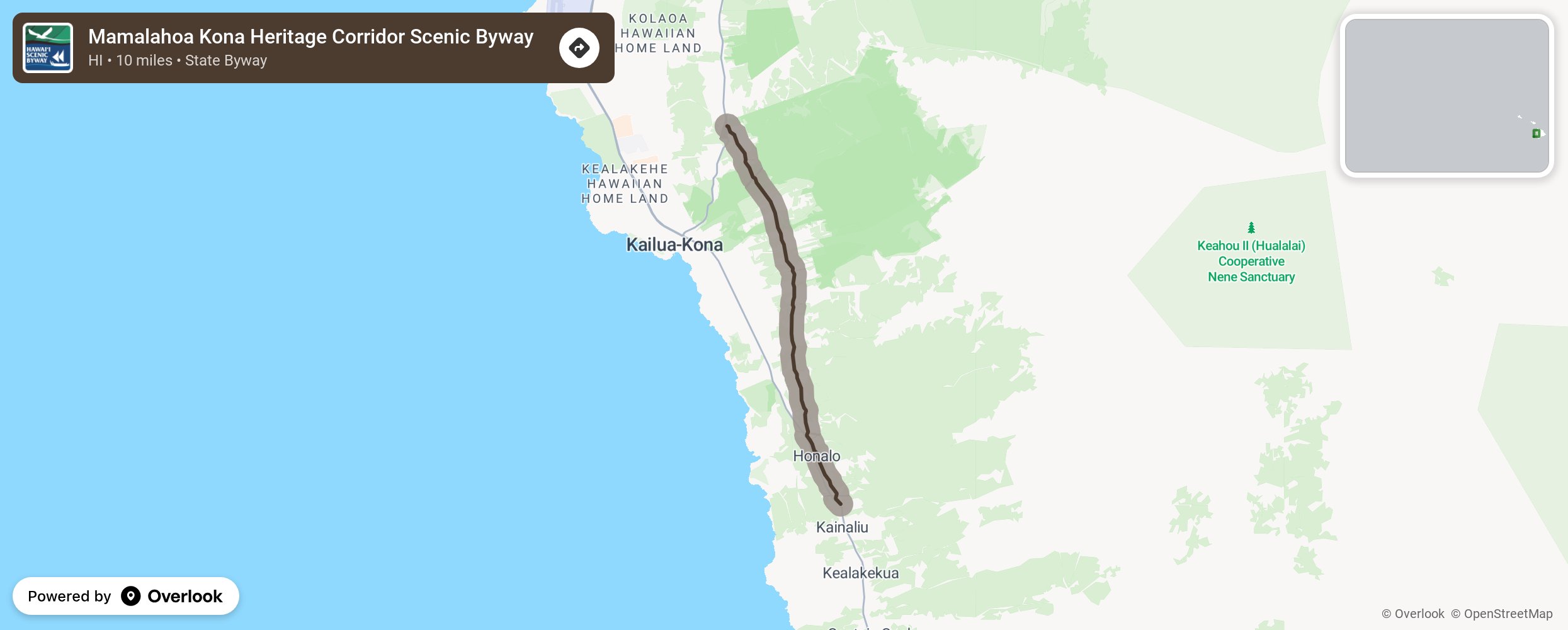
The island of Hawaii is the youngest and the largest of the Hawaiian Islands and offers many climate zones. This route winds around the slopes of the Hualalai Mountains with sweeping views of Kailua-Kona and the Pacific Ocean. This ancient footpath tells the story of the old and new Hawaii and the immigrant influences of Asia, Europe, and America through its historic architecture, shrines, coffee farms, art galleries, and the Holualo Village. This byway is also known as Route 180 (Old Mamalahoa Highway) between Palani Junction and the intersection of State Route 11 (Kuakini Highway.) More from National Scenic Byway Foundation →
Embed this map on your site
You are welcome to add this map to your own website for free, as long as you do so using the below code snippet in its entirety.
Please get in touch with us if you have any questions!
      <iframe src="https://overlookmaps.com/byways/hi-mamalahoa-kona-heritage-corridor"></iframe>
    <a href="https://overlookmaps.com/">Map courtesy of Overlook Maps</a>