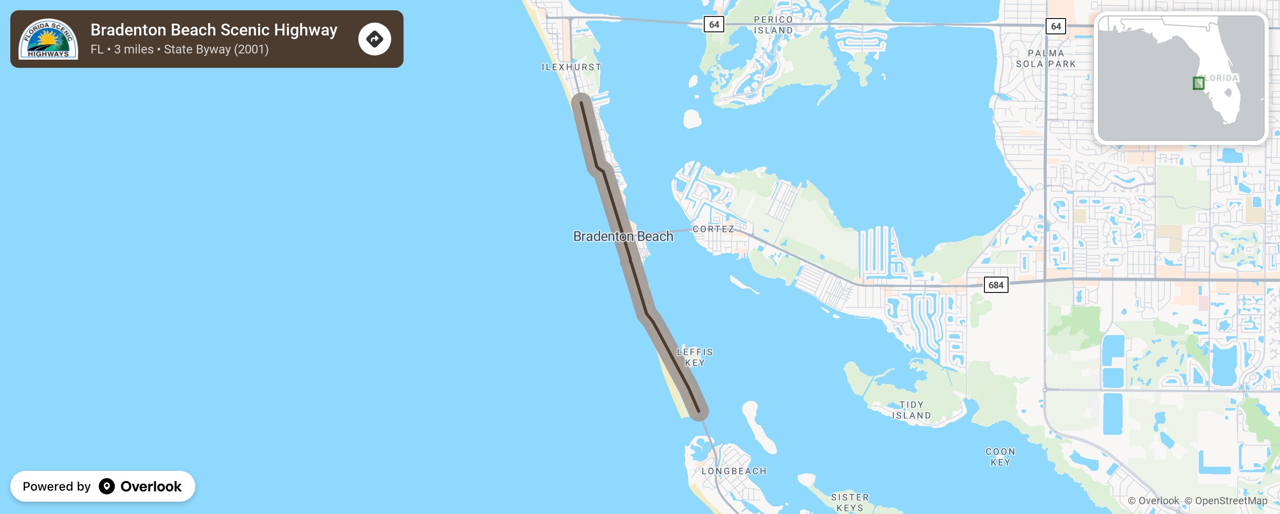
Bradenton Beach Scenic Highway

The Bradenton Beach Scenic Highway (a 3-mile segment of SR 789 or Gulf Drive) is a beautifully greenscaped, pedestrian friendly, waterfront highway corridor where residents and visitors can safely walk and bike. The outstanding beaches, picnic areas, boat ramps, parking and scenic vistas along the highway provide pleasant places for residents and visitors to interact with the natural environment and the island community. The Bradenton Beach area provides unique family-oriented restaurants and locally owned lodging. The island community located along the Scenic Corridor provides both environmental and historic educational opportunities that have maintained the Old Florida ambiance of both the architectural and natural flavor. More from National Scenic Byway Foundation →
Embed this map on your site
You are welcome to add this map to your own website for free, as long as you do so using the below code snippet in its entirety.
Please get in touch with us if you have any questions!
      <iframe src="https://overlookmaps.com/byways/fl-bradenton-beach-scenic-highway"></iframe>
    <a href="https://overlookmaps.com/">Map courtesy of Overlook Maps</a>