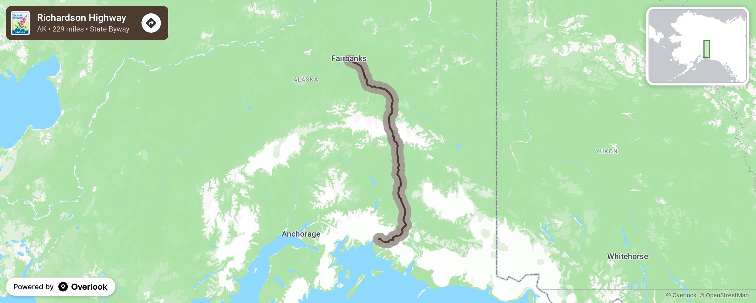
Richardson Highway

Richardson Highway is the oldest highway in Alaska, beginning as a gold rush trail in 1898 and upgraded to a wagon road in 1910 after the Fairbanks gold rush. It was made suitable for automobiles in the 1920’s and paved in 1957. In the north section, Birch Lake State Recreation Area and Chena Lake Recreation Area are excellent for fishing all year long. In the summer months visitors can bike, swim, and boat. Visit the Santa Claus House in North Pole with its 42-foot, 900-pound Santa Claus and family-run gift shop. In the southern section of the Highway visit Thompson Pass, the site of world class ice climbing and extreme skiing. Take in a quiet night at a campground or hiking and river rafting, or stop in the Wrangell-St. Elias Mountains, the nations’ largest national park and the highest concentrations of peaks in North America. More from National Scenic Byway Foundation →
Embed this map on your site
You are welcome to add this map to your own website for free, as long as you do so using the below code snippet in its entirety.
Please get in touch with us if you have any questions!
      <iframe src="https://overlookmaps.com/byways/ak-richardson-highway"></iframe>
    <a href="https://overlookmaps.com/">Map courtesy of Overlook Maps</a>