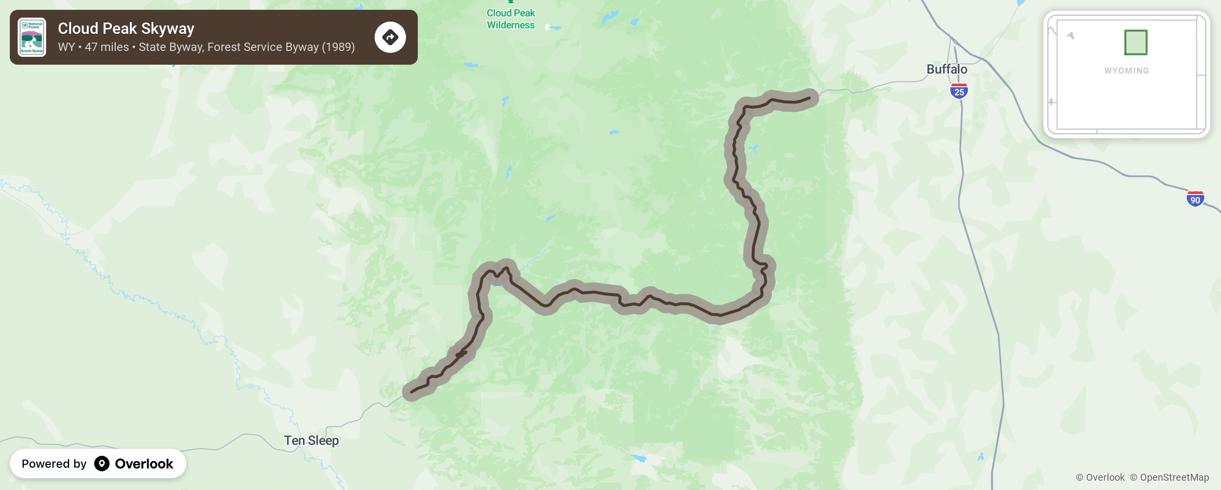
Cloud Peak Skyway

The Cloud Peak Skyway Scenic Byway is the southern-most route across the Bighorn National Forest in the Big Horn Mountains. The designated 47-mile stretch of the Scenic Byway, or U.S. 16, shares its boundaries with the National Forest. The route can be reached via Ten Sleep from the west or Buffalo from the east. The road is a paved two-lane highway that crests at the 9,666-foot Powder River Pass. Mountain weather can be extreme and snow can fall in any month at these elevations but it rarely affects travel in the summer and early fall. More from National Scenic Byway Foundation →
Embed this map on your site
You are welcome to add this map to your own website for free, as long as you do so using the below code snippet in its entirety.
Please get in touch with us if you have any questions!
      <iframe src="https://overlookmaps.com/byways/wy-cloud-peak-skyway"></iframe>
    <a href="https://overlookmaps.com/">Map courtesy of Overlook Maps</a>