Chief Joseph Scenic Byway

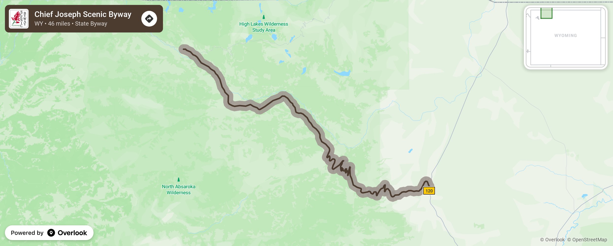
The Chief Joseph Scenic Byway, Wyoming 296, links the town of Cody with the Beartooth Highway and the Northeast Gate of Yellowstone National Park. The route crosses the Shoshone National Forest through the Absaroka Mountains to the Clarks Fork Valley. The 47 paved miles of the Scenic Byway run from the junction with U.S. 120, 17 miles north of Cody, northwest to their connection with U.S. 212, the Beartooth Highway. The Beartooth Mountains and the Clarks Fork of the Yellowstone River lie to the north of the road, and the Absaroka Mountains and North Absaroka Wilderness are to the south. The most predictable times to drive this highway are during the fall and summer. During the winter months, snow plows keep the roadway open to just east of the entrance to Yellowstone National Park. Allow one hour minimum driving time over this stretch of Byway. More from National Scenic Byway Foundation →
Embed this map on your site
You are welcome to add this map to your own website for free, as long as you do so using the below code snippet in its entirety.
Please get in touch with us if you have any questions!
      <iframe src="https://overlookmaps.com/byways/wy-chief-joseph-scenic-highway"></iframe>
    <a href="https://overlookmaps.com/">Map courtesy of Overlook Maps</a>