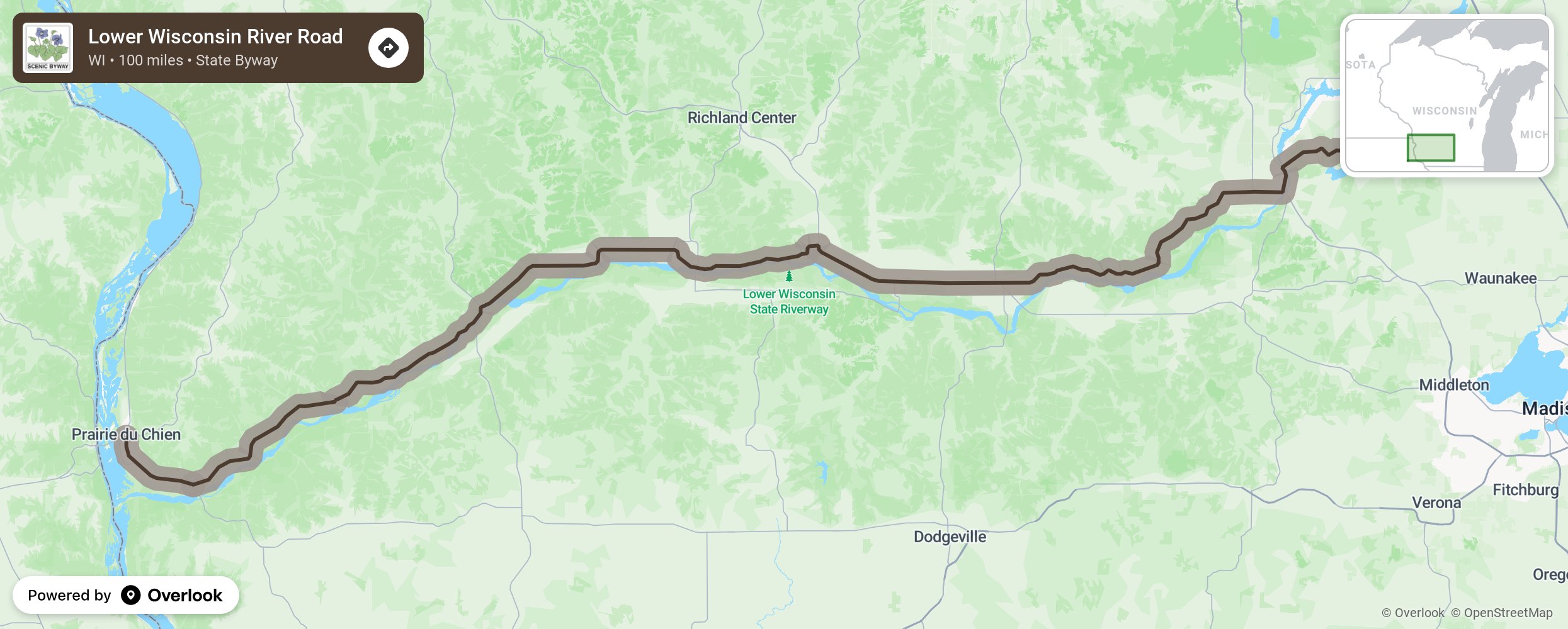
Lower Wisconsin River Road

From the Empire Prairie to the Mighty Mississippi, Wisconsin’s 100-mile Scenic Byway 60 follows the graceful curves of the Lower Wisconsin River. In constant flux, the “River of a Thousand Isles” continuously sculpts its sandbars, shifts its channels, varies its flows, and repaints its colors according to the whims of the weather gods. Here golden bluffs crop out of emerald hills and valleys that roll into rushing streams to the lively river. These waters beckon fishers, canoers, kayakers, and boaters. Here birdwatchers and botanists can go bananas while, chances are, an eagle is watching them. More from National Scenic Byway Foundation →
Embed this map on your site
You are welcome to add this map to your own website for free, as long as you do so using the below code snippet in its entirety.
Please get in touch with us if you have any questions!
      <iframe src="https://overlookmaps.com/byways/wi-lower-wisconsin-river-road-scenic-byway"></iframe>
    <a href="https://overlookmaps.com/">Map courtesy of Overlook Maps</a>