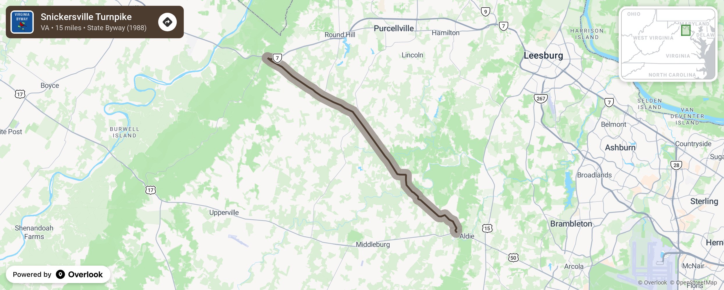
Snickersville Turnpike

The Snickersville Byway began as a trail for the Iroquois. It was given many names over the centuries: Shenandoah Hunting Path, Mountain Road, Blue Ridge Road, Colchester Road, Middle Road, and Snickersville Gap Road before settling on the name Snickersville Turnpike. It was named for Edward Snickers, who owned the gap and operated a ferry across the Shenandoah River. George Washington, while a surveyor for Lord Fairfax, traveled the road over Snickers Gap. Later many Civil War skirmishes took place along the route with the Goose Creek Bridge being burned. oday farm vehicles share the road with autos, motorcyclists, bicyclists, walkers, runners, and even horseback riders. Cattle and horses graze in the pastures and travelers will be impressed by the architecture from all time periods that dot the landscape. More from National Scenic Byway Foundation →
Embed this map on your site
You are welcome to add this map to your own website for free, as long as you do so using the below code snippet in its entirety.
Please get in touch with us if you have any questions!
      <iframe src="https://overlookmaps.com/byways/va-snickersville-turnpike"></iframe>
    <a href="https://overlookmaps.com/">Map courtesy of Overlook Maps</a>