Colonial Parkway

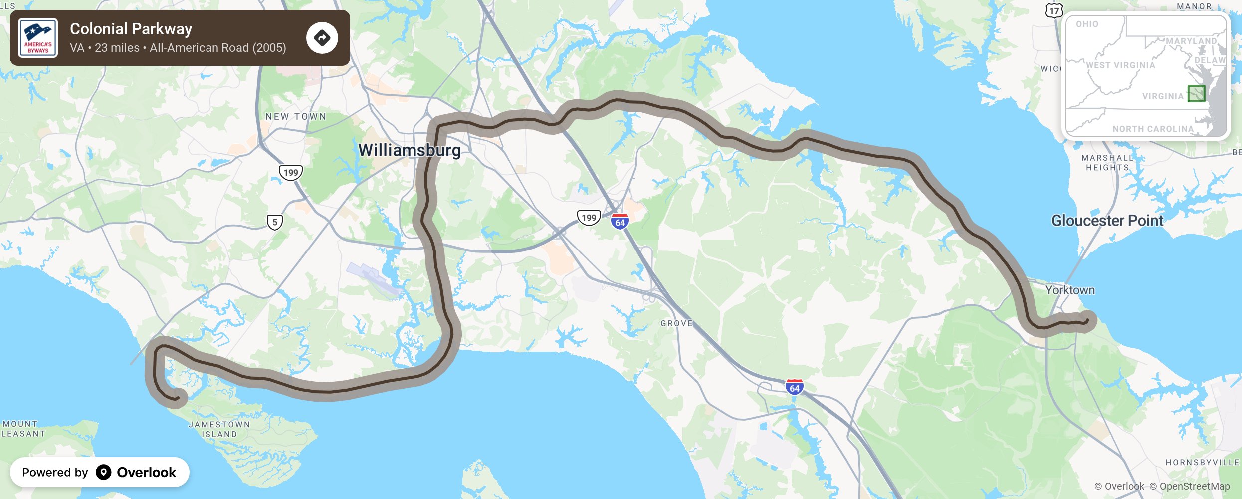
The Colonial Parkway is a twenty-three mile scenic roadway stretching from the York River at Yorktown to the James River at Jamestown. It connects Virginia's historic triangle: Jamestown, Williamsburg, and Yorktown. Several million travelers a year use this route to enjoy the natural and cultural beauty of Virginia. The Parkway serves as a thoroughfare unifying culturally distinct sites crossing several pristine natural environments while still maintaining the National Park Service's prime directive to conserve the scenery and provide enjoyment of the same. More from National Scenic Byway Foundation →
Embed this map on your site
You are welcome to add this map to your own website for free, as long as you do so using the below code snippet in its entirety.
Please get in touch with us if you have any questions!
      <iframe src="https://overlookmaps.com/byways/va-colonial-parkway"></iframe>
    <a href="https://overlookmaps.com/">Map courtesy of Overlook Maps</a>