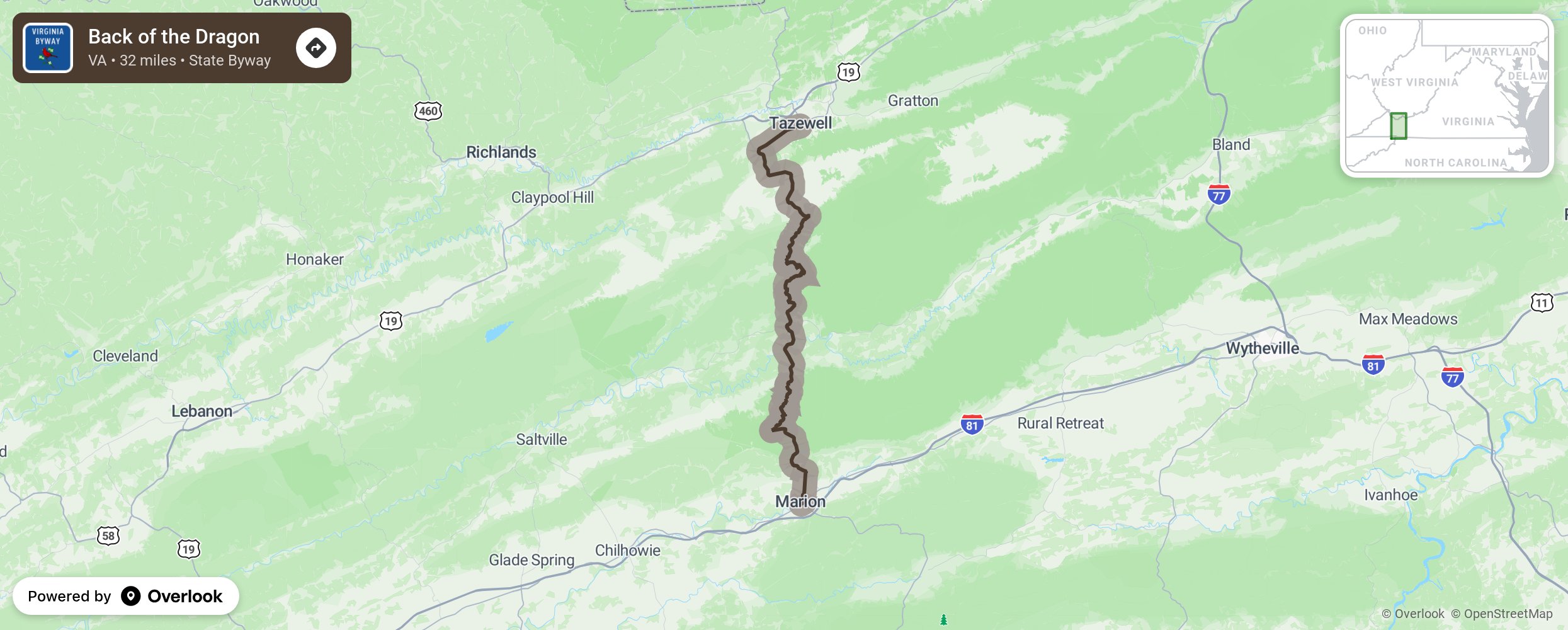
Back of the Dragon

The Back of the Dragon begins in the town of Tazewell, a once thriving coal town. A local veteran who yearned for the adventures he had with his motorcycle in Europe, felt this stretch of road should be used to lure other cyclists to the unknown feature of its 438 curves in the 32 miles with a high point elevation of 3500 feet. Larry Brent Davidson gave it the name “Back of the Dragon” as the nearby Bigwalker, Brushy, and Clinch Mountains looked to him like the humps of a medieval dragon. Larry set out to make the route a byway and promoted it to adventurers to not only experience the road but to also stop by his gift store. They byway has pumped new life into Tazewell. Take time to check out the brewery and restaurants, or stay in the cabins or B&B. There is even a motorcycle repair shop, if you should need it. More from National Scenic Byway Foundation →
Embed this map on your site
You are welcome to add this map to your own website for free, as long as you do so using the below code snippet in its entirety.
Please get in touch with us if you have any questions!
      <iframe src="https://overlookmaps.com/byways/va-back-of-the-dragon"></iframe>
    <a href="https://overlookmaps.com/">Map courtesy of Overlook Maps</a>