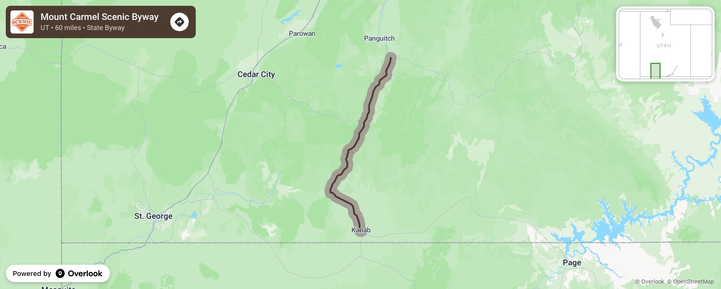
This byway travels on a north-south direction which lends itself to spectacular differences in geology and landscapes. Traversing the Markagunt Plateau, the route travels through the Sevier River valley and descends the Grand Staircase with it cliffs of colorful pink, gray, white, and vermillion sedimentary rock layers. Side trips may include Cedar Breaks National Monument, Dixie National Forest, and Zion National Park.
More from National Scenic Byway Foundation →
Embed this map on your site
You are welcome to add this map to your own website for free, as long as you do so using the below code snippet in its entirety.