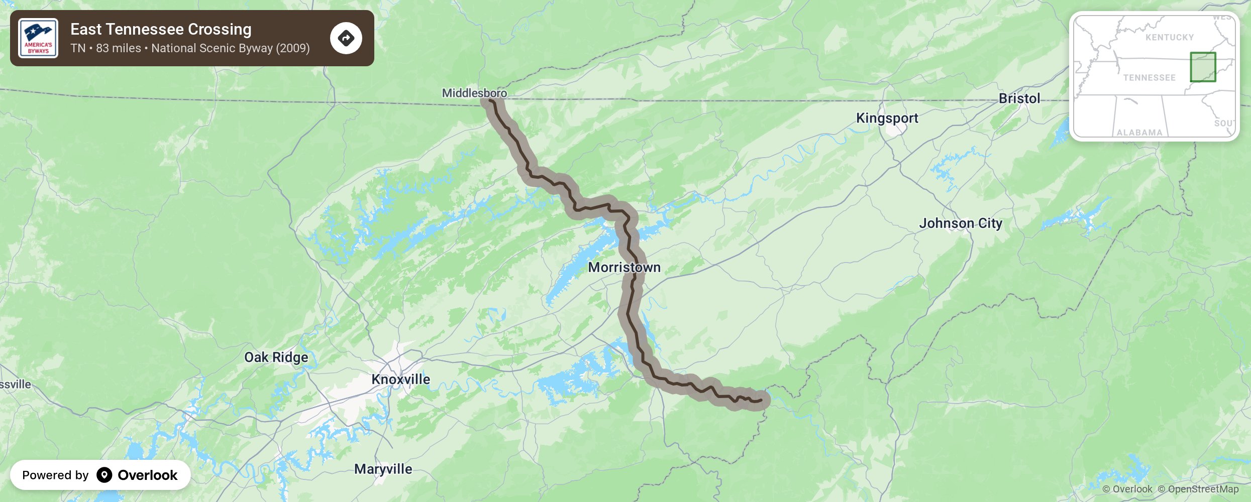
East Tennessee Crossing

East Tennessee Crossing (Hwy 25E) stretches 83 miles in Tennessee from the Cumberland Gap, southeast to the Cherokee National Forest. It has been used since prehistoric times by pioneer travelers, hunters and tourists alike, and is as well traveled as it is named. The route is known as the Cherokee Warriors’ Path, originally cut by bison and used by Native American tribes to attack each other, trade with each other, and travel from place to place. More from National Scenic Byway Foundation →
Embed this map on your site
You are welcome to add this map to your own website for free, as long as you do so using the below code snippet in its entirety.
Please get in touch with us if you have any questions!
      <iframe src="https://overlookmaps.com/byways/tn-east-tennessee-crossing"></iframe>
    <a href="https://overlookmaps.com/">Map courtesy of Overlook Maps</a>