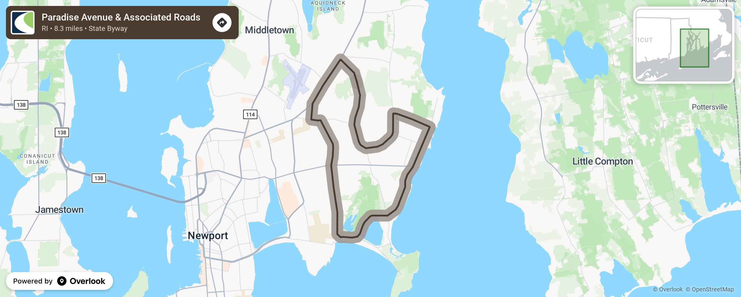
Paradise Avenue & Associated Roads

This route is home to all types of architectural styles, from Victorian to Greek revival and to Colonial as well as other 18th Century structures. Trees of exceptional quality in terms of age of specimen and spread and related flora border the route. As the roadway gently slopes seaward, it passes Paradise Rock and Hanging Rock, made of fine blue-gray hued stone quarried by the Peckham Family, dating back to 1844. The route leads to the Atlantic Ocean and the Sakonnet River, both fresh and saltwater wetlands with tall marsh grasses. Access to the shoreline is provided at Sachuest Beach by both he U.S> Fish and Wildlife’s Sachuest Point and the privately held Norman Bird Sanctuary. There are miles of trails to explore this unique area. More from National Scenic Byway Foundation →
Embed this map on your site
You are welcome to add this map to your own website for free, as long as you do so using the below code snippet in its entirety.
Please get in touch with us if you have any questions!
      <iframe src="https://overlookmaps.com/byways/ri-paradise-avenue-amp-associated-roads"></iframe>
    <a href="https://overlookmaps.com/">Map courtesy of Overlook Maps</a>