West Branch Susquehanna Scenic Byway

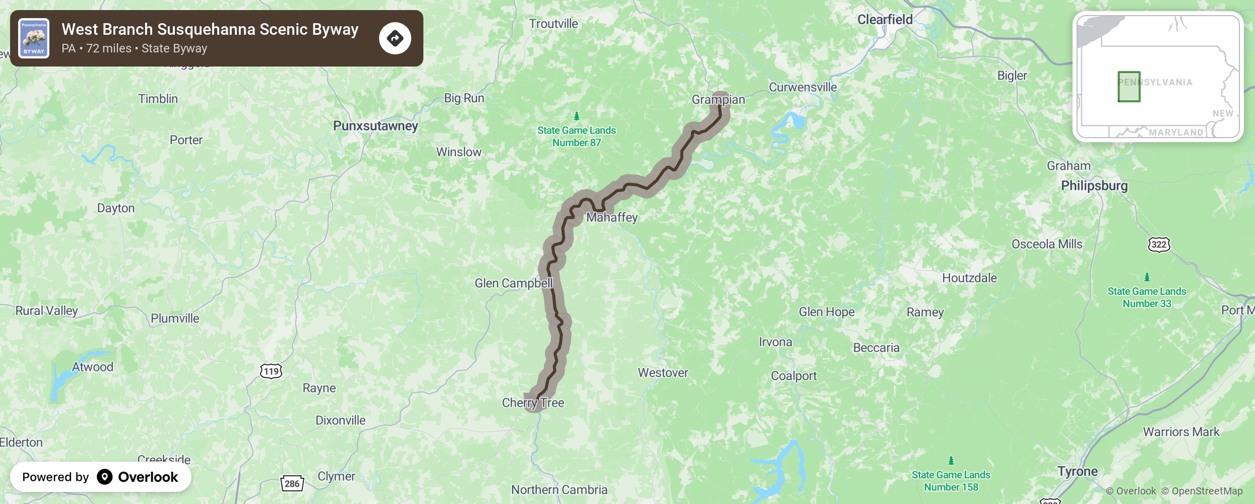
Take one of Pennsylvania’s newest byways and enjoy the nature and wildlife, including elk, found along the route as it follows the West Branch of the Susquehanna River. Stop along the way at the dozens of state-designated historical markers, Clearfield County’s historic McGee’s Mills Covered Bridge (the only covered bridge left in the county), Curwensville Lake Recreation Area (a man-made lake), and the geologic wonders of Bilger’s Rocks. This central Pennsylvania byway follows Route 219 from Cherry Tree to Grampian, then turns onto Route 879 to Clearfield. More from National Scenic Byway Foundation →
Embed this map on your site
You are welcome to add this map to your own website for free, as long as you do so using the below code snippet in its entirety.
Please get in touch with us if you have any questions!
      <iframe src="https://overlookmaps.com/byways/pa-west-branch-susquehanna-scenic-byway"></iframe>
    <a href="https://overlookmaps.com/">Map courtesy of Overlook Maps</a>