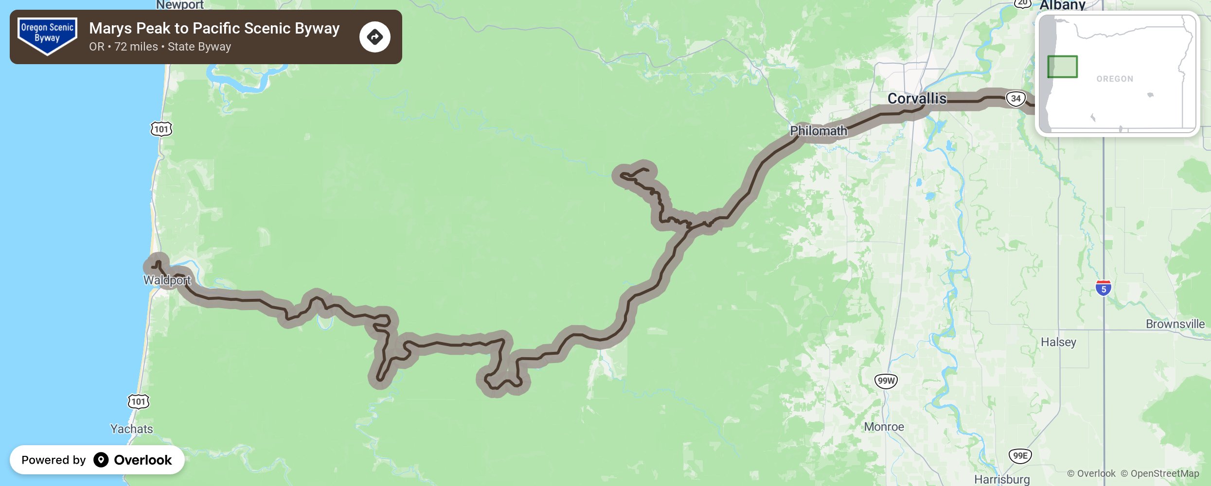
Marys Peak to Pacific Scenic Byway

From the highest point in the Coast Range to the broad, sandy beaches of the Central Coast, one of Oregon’s newest byways follows the Alsea River on a delightfully meandering 72-mile tour. It’s always tempting to make a beeline for Oregon’s magnificent coast, but this byway encourages you to take it slow — not only to navigate the often narrow, twisting road but to discover the many attractions hiding just beyond the highway.The byway begins near interstate 5 and Tangent, where farmers established the state’s first grange. The agriculturally abundant Willamette Valley produces most of the nation’s turf grass seed, along with hazelnuts, berries, mint and many other crops More from National Scenic Byway Foundation →
Embed this map on your site
You are welcome to add this map to your own website for free, as long as you do so using the below code snippet in its entirety.
Please get in touch with us if you have any questions!
      <iframe src="https://overlookmaps.com/byways/or-marys-peak-to-pacific-scenic-byway"></iframe>
    <a href="https://overlookmaps.com/">Map courtesy of Overlook Maps</a>