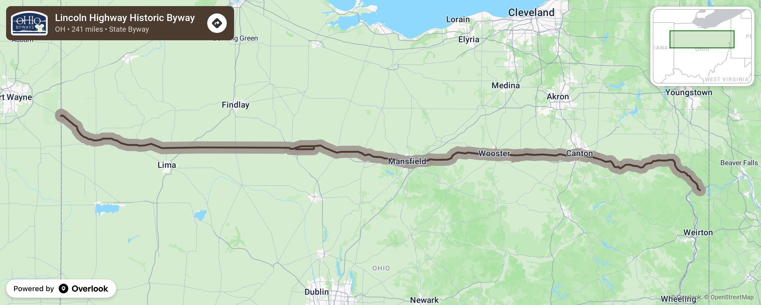
Lincoln Highway Historic Byway

The Lincoln Highway represents the first roadway system in support of the car. Beginning in New York and ending in San Francisco, it was conceived in 1913 as the first highway from the Atlantic to the Pacific that would carry motor traffic. The 241-mile section that crosses through Ohio was modified a number of times from 1913 until 1928. Because the Lincoln Highway Association wanted to run the road's Illinois alignment near Chicago, the Lincoln was apt to be rerouted in Ohio and Indiana any time more direct roads between Pittsburgh and Chicago were built or improved. Fully 60 percent of the original Lincoln Highway in Ohio was abandoned in subsequent reroutings. Therefore, for continuity's sake, the Lincoln Highway Historic Byway follows the final alignment adopted in 1928, which connected the cities of Canton, Massillon, Wooster, Mansfield, Bucyrus, Upper Sandusky, Delphos and Van Wert. More from National Scenic Byway Foundation →
Embed this map on your site
You are welcome to add this map to your own website for free, as long as you do so using the below code snippet in its entirety.
Please get in touch with us if you have any questions!
      <iframe src="https://overlookmaps.com/byways/oh-ohio-lincoln-highway-historic-byway"></iframe>
    <a href="https://overlookmaps.com/">Map courtesy of Overlook Maps</a>