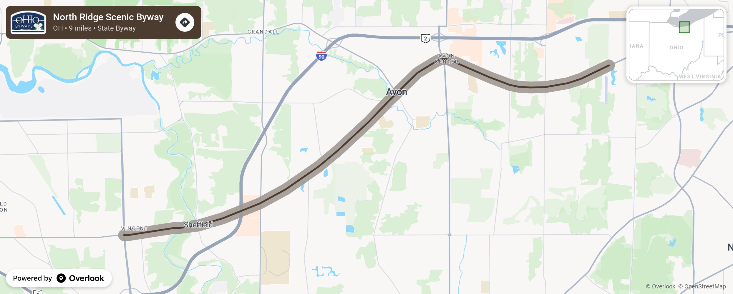
This 9-mile byway encompasses the entire length of State Route 254 in Lorain County and passes by more than one hundred historic homes that date back to the 1830s. More than 12,000 years ago, when Lake Erie was larger than it is today, what is now State Route 254 was the lake's shoreline. The roadway follows the northernmost ancient beach ridge across Avon and Sheffield at a range of 670 to 690 feet above sea level.
More from National Scenic Byway Foundation →
Embed this map on your site
You are welcome to add this map to your own website for free, as long as you do so using the below code snippet in its entirety.