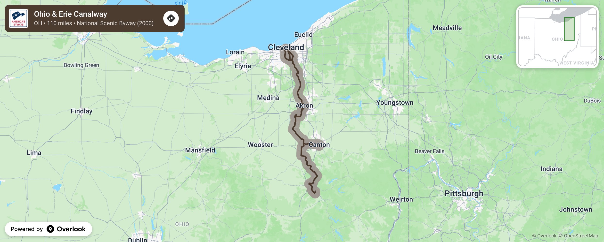
Ohio & Erie Canalway

The Ohio & Erie Canalway America’s Byway travels alongside the historic path of the Ohio & Erie Canal, the origination of the nation's first inland waterway link between the Great Lakes and the Gulf of Mexico. Along the 110-mile meandering route, the Byway preserves and follows not only the path of the canal itself, but also chronicles the evolution of transportation systems and many of the industries and communities which developed in conjunction with these systems. It is one of three primary transportation routes that allow exploration of the historic Canalway and its landscapes. More from National Scenic Byway Foundation →
Embed this map on your site
You are welcome to add this map to your own website for free, as long as you do so using the below code snippet in its entirety.
Please get in touch with us if you have any questions!
      <iframe src="https://overlookmaps.com/byways/oh-ohio-erie-canalway"></iframe>
    <a href="https://overlookmaps.com/">Map courtesy of Overlook Maps</a>