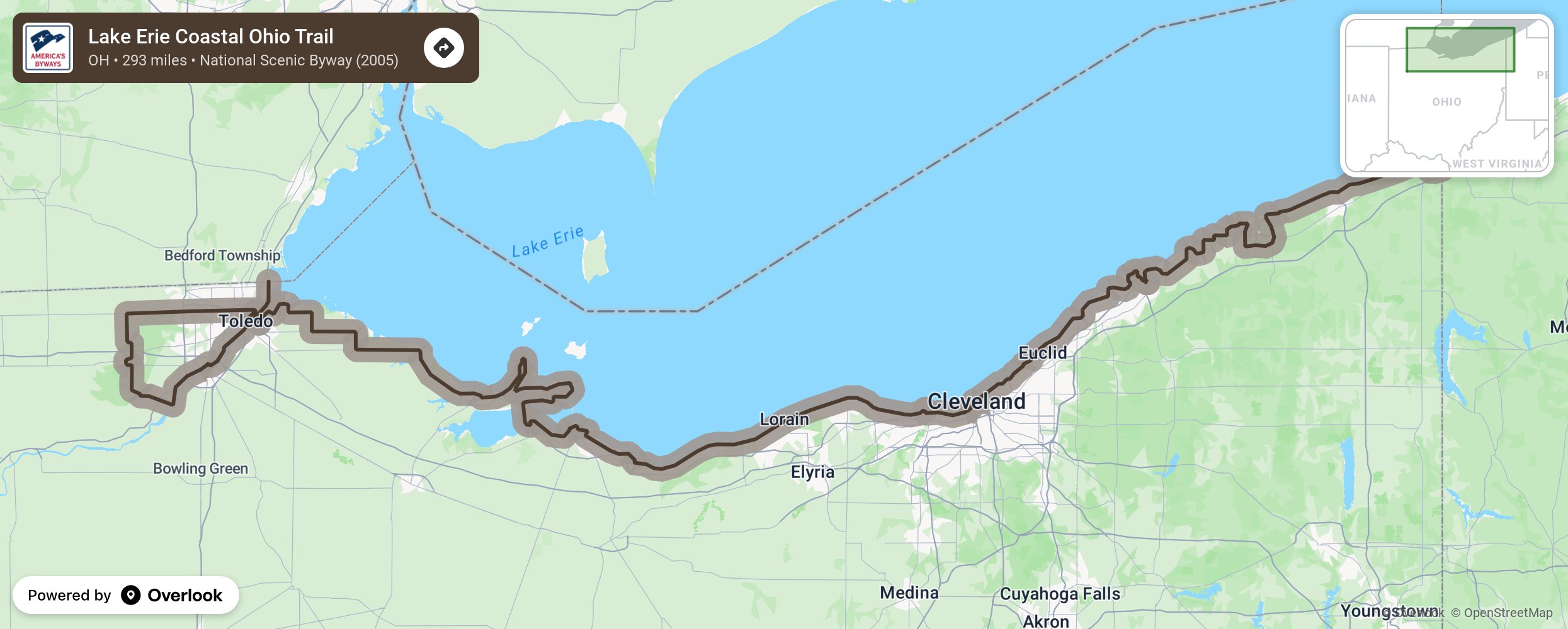
The Lake Erie Coastal Trail Scenic Byway (LECT) stretches from Conneaut to Toledo, encompassing 293 miles. The route allows travelers to experience coastal resources and over 150 cultural, historic and natural attractions along Lake Erie’s shoreline area, including lighthouses, museums, local, state, and national parks, public beaches, nature preserves, and much more.
More from National Scenic Byway Foundation →
Embed this map on your site
You are welcome to add this map to your own website for free, as long as you do so using the below code snippet in its entirety.